

(4h) Qtown / Moke Lake / Arthur-s Point / Qtown
Trasa rowerowa rozpoczynająca się w Queenstown, Otago, Nowa Zelandia.
Przegląd
O tej trasie
Zrelaksuj się, opróżnij umysł i wskocz na rower
- Glenorchy rd po Fernhill skręć w prawo pod górę
//Poczuj swoje mięśnie//
-
Ciesz się krajobrazami, robiąc pętlę wokół jeziora Moke
-
Wróć drogą w lewo i tuż przed kamperami jedź prosto, przeskocz przez barierę, jeśli to konieczne
-
Podążaj drogą, krajobraz jest niesamowity, będą 2/3 bardzo strome podjazdy, jedź pod górę
-
Zawsze trzymaj się prawej strony doliny i nie kieruj się na Queenstown, jedź na Arthur's Point
-
Podążaj wąską ścieżką singletrack do Arthurs Point, kilka odcinków do przejścia pieszo, sugeruję iść za rowerem z przednim kołem uniesionym w powietrzu. Idź ostrożnie
-
Ciesz się widokiem na BASE JUMPING
-
Podążaj asfaltową drogą do głównej drogi
-
Wjedź na prawy pagórek i podążaj ścieżką po prawej stronie drogi, powrót do Queenstown
-
Ciesz się posiłkiem i prysznicem
- -:--
- Czas
- 38,1 km
- Dystans
- 766 m
- Przewyższenia
- 778 m
- Spadek
- ---
- Śr. Prędkość
- ---
- Maks. wysokość

Kontynuuj z Bikemap
Użyj, edytuj lub pobierz tę trasę rowerową
Chcesz przejechać trasę (4h) Qtown / Moke Lake / Arthur-s Point / Qtown lub dostosować ją do swojej wycieczki? Oto, co możesz zrobić z tą trasą na Bikemap:
Darmowe funkcje
- Zapisz tę trasę jako ulubioną lub w kolekcji
- Skopiuj i zaplanuj swoją wersję tej trasy
- Synchronizuj swoją trasę z Garminem lub Wahoo
Funkcje Premium
3 dni bezpłatnej wersji próbnej lub jednorazowa opłata. Dowiedz się więcej o Bikemap Premium.
- Nawiguj po tej trasie na iOS i Androidzie
- Eksportuj plik GPX / KML tej trasy
- Stwórz swój własny wydruk (wypróbuj za darmo)
- Pobierz tę trasę do nawigacji offline
Odkryj więcej funkcji Premium.
Uzyskaj Bikemap PremiumOd naszej społeczności
Queenstown: Inne popularne trasy rozpoczynające się tutaj
 Kelvin Heights to Arrowtown via Speargrass Flat Rd
- Dystans
- 19,6 km
- Przewyższenia
- 285 m
- Spadek
- 178 m
- Lokalizacja
- Queenstown, Otago, Nowa Zelandia
 South Island Tour
- Dystans
- 1126,4 km
- Przewyższenia
- 2298 m
- Spadek
- 2607 m
- Lokalizacja
- Queenstown, Otago, Nowa Zelandia
 Queenstown, New Zealand to Glennorchy
- Dystans
- 45,9 km
- Przewyższenia
- 973 m
- Spadek
- 957 m
- Lokalizacja
- Queenstown, Otago, Nowa Zelandia
 Hilton to Queenstown Gardens The Bath House Cafe
- Dystans
- 9,1 km
- Przewyższenia
- 118 m
- Spadek
- 110 m
- Lokalizacja
- Queenstown, Otago, Nowa Zelandia
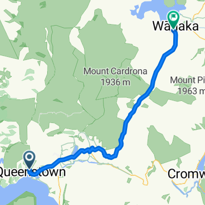 qt-wanaka
- Dystans
- 68,9 km
- Przewyższenia
- 878 m
- Spadek
- 955 m
- Lokalizacja
- Queenstown, Otago, Nowa Zelandia
 Queenstown circle
- Dystans
- 56 km
- Przewyższenia
- 451 m
- Spadek
- 451 m
- Lokalizacja
- Queenstown, Otago, Nowa Zelandia
 Queenstown - Wanaka
- Dystans
- 69,1 km
- Przewyższenia
- 862 m
- Spadek
- 902 m
- Lokalizacja
- Queenstown, Otago, Nowa Zelandia
 Hilton Hotel to Arrowtown via Slopehill Rd
- Dystans
- 19,7 km
- Przewyższenia
- 312 m
- Spadek
- 207 m
- Lokalizacja
- Queenstown, Otago, Nowa Zelandia
Otwórz ją w aplikacji