St Columba's Way- Perth to St Andrews
Trasa rowerowa rozpoczynająca się w Perth, Szkocja, Zjednoczone Królestwo Wielkiej Brytanii.
Przegląd
O tej trasie
Przejedź przez most w Perth na trasie rowerowej 77, a następnie podążaj cichymi drogami, ścieżkami nad rzeką i głównymi szlakami. Na początku trochę pagórkowato, aż do 145 metrów na zewnątrz Perth, potem płasko z pięknymi widokami na rzekę Tay w kierunku Dundee i słynnego mostu kolejowego. W Dundee dużo zakwaterowania, pubów itp.
- -:--
- Czas
- 73,2 km
- Dystans
- 266 m
- Przewyższenia
- 249 m
- Spadek
- ---
- Śr. Prędkość
- ---
- Maks. wysokość
Jakość trasy
Typy dróg i nawierzchnie na trasie
Typy dróg
Droga
17,6 km
(24 %)
Droga rowerowa
16,1 km
(22 %)
Powierzchnie
Utwardzona
22 km
(30 %)
Nieutwardzona
9,5 km
(13 %)
Asfalt
22 km
(30 %)
Żwir
8,1 km
(11 %)
Najważniejsze punkty trasy
Punkty zainteresowania na trasie
Interesujące miejsce po 0,1 km
Scone camping and caravan site
Interesujące miejsce po 8,6 km
BIKE ROUTE 77. Signposted from Perth to Dundee
Interesujące miejsce po 40,7 km
DUNDEE. Hotels, hostels, shops, pubs etc
Interesujące miejsce po 65,3 km
Guardbridge. The village derives its name from this 15th-century six-arched bridge over the Eden and is the site of the last hostel – or “gare” from the French word for station - where many pilgrims stayed before setting off on the final three miles (5 km) to St Andrews and the great cathedral holding the relics of St Andrew.
Kontynuuj z Bikemap
Użyj, edytuj lub pobierz tę trasę rowerową
Chcesz przejechać trasę St Columba's Way- Perth to St Andrews lub dostosować ją do swojej wycieczki? Oto, co możesz zrobić z tą trasą na Bikemap:
Darmowe funkcje
- Zapisz tę trasę jako ulubioną lub w kolekcji
- Skopiuj i zaplanuj swoją wersję tej trasy
- Synchronizuj swoją trasę z Garminem lub Wahoo
Funkcje Premium
3 dni bezpłatnej wersji próbnej lub jednorazowa opłata. Dowiedz się więcej o Bikemap Premium.
- Nawiguj po tej trasie na iOS i Androidzie
- Eksportuj plik GPX / KML tej trasy
- Stwórz swój własny wydruk (wypróbuj za darmo)
- Pobierz tę trasę do nawigacji offline
Odkryj więcej funkcji Premium.
Uzyskaj Bikemap PremiumOd naszej społeczności
Perth: Inne popularne trasy rozpoczynające się tutaj
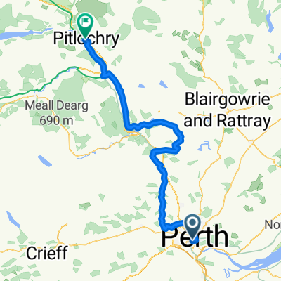
 Day 25 Perth to Pitlochry
- Dystans
- 47,7 km
- Przewyższenia
- 587 m
- Spadek
- 502 m
- Lokalizacja
- Perth, Szkocja, Zjednoczone Królestwo Wielkiej Brytanii
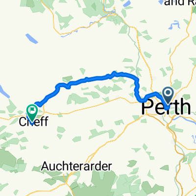
 Perth - Crieff High Route
- Dystans
- 41,2 km
- Przewyższenia
- 353 m
- Spadek
- 326 m
- Lokalizacja
- Perth, Szkocja, Zjednoczone Królestwo Wielkiej Brytanii
 ToB 1
ToB 1- Dystans
- 168,1 km
- Przewyższenia
- 1462 m
- Spadek
- 1250 m
- Lokalizacja
- Perth, Szkocja, Zjednoczone Królestwo Wielkiej Brytanii
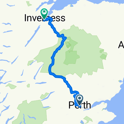
 Pitlochry - Inverness
- Dystans
- 214,6 km
- Przewyższenia
- 2207 m
- Spadek
- 2209 m
- Lokalizacja
- Perth, Szkocja, Zjednoczone Królestwo Wielkiej Brytanii
 Perth - Pitlochry
- Dystans
- 62,5 km
- Przewyższenia
- 721 m
- Spadek
- 633 m
- Lokalizacja
- Perth, Szkocja, Zjednoczone Królestwo Wielkiej Brytanii
 Perth
Perth- Dystans
- 37,5 km
- Przewyższenia
- 778 m
- Spadek
- 778 m
- Lokalizacja
- Perth, Szkocja, Zjednoczone Królestwo Wielkiej Brytanii
 St Columba's Way- Perth to St Andrews
- Dystans
- 73,2 km
- Przewyższenia
- 266 m
- Spadek
- 249 m
- Lokalizacja
- Perth, Szkocja, Zjednoczone Królestwo Wielkiej Brytanii
 Perth Eastern circuit 1
- Dystans
- 46,3 km
- Przewyższenia
- 529 m
- Spadek
- 530 m
- Lokalizacja
- Perth, Szkocja, Zjednoczone Królestwo Wielkiej Brytanii
Otwórz ją w aplikacji


