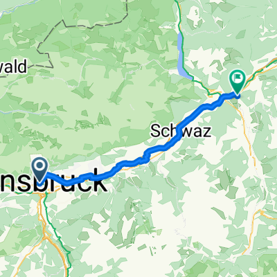
Innsbruck Mittenwald and back again
- 83,3 km
- 1693 m
- 1692 m
- Innsbruck, Tyrol, Austria
Trasa rowerowa rozpoczynająca się w Innsbruck, Tyrol, Austria.
Przegląd
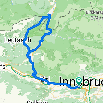
Arzl, Absam, Halltal, Stempeljoch, Scharnitz, Seefeld, Telfs, Innsbruck.
Na tym szlaku rower musi być noszony i popychany.
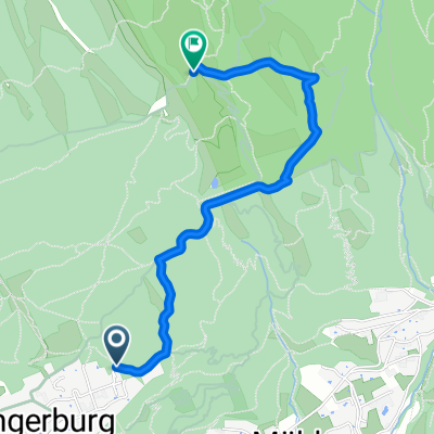
Od Herrenhäser do Stempeljoch (około 1 godz. 20 min)
Zejście z Stempeljoch około 25min do Pfeißhütte, potem znów przejezdna droga żwirowa.
utworzono 12 lat temu temu
Najważniejsze punkty trasy
unterrer teil des halltals(schöne lange asphalt steigung,bis zum nächsten point of intrest.
Ende Asphalt.Steil,schieben .
”")
Herrenhäuser
war hintem im haus zusehn
standort brunnen-anfang Trage strecke. Bis Stempljoch.
bild mitte:stempljoch
Schwieriger Aufstieg mit Rad(nur für Trittsichere und Konditionstarke)
rumer spitz.(blick nach vorn*)
höchster punkt der tour.blick übers Halltal.
Halltal.
”")
es is nicht leicht a radl da rauf zahn.aber man wird mit kilometer langen abfahrt belohnt.
”")
pfeis hütte.(ende tragestrecke)
”")
anfang asphalt
Richtung Seefeld
”")
”")
Kontynuuj z Bikemap
Chcesz przejechać trasę Halltal-Scharnitz(Stempeljoch-Überschreitung) lub dostosować ją do swojej wycieczki? Oto, co możesz zrobić z tą trasą na Bikemap:
3 dni bezpłatnej wersji próbnej lub jednorazowa opłata. Dowiedz się więcej o Bikemap Premium.
Odkryj więcej funkcji Premium.
Uzyskaj Bikemap PremiumOd naszej społeczności
Otwórz ją w aplikacji