
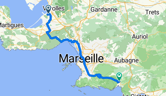
Flughafen Marseille - Cassis
Trasa rowerowa rozpoczynająca się w Vitrolles, Prowansja-Alpy-Lazurowe Wybrzeże, Francja.
Przegląd
O tej trasie
- Etapę mojej podróży do Francji '08
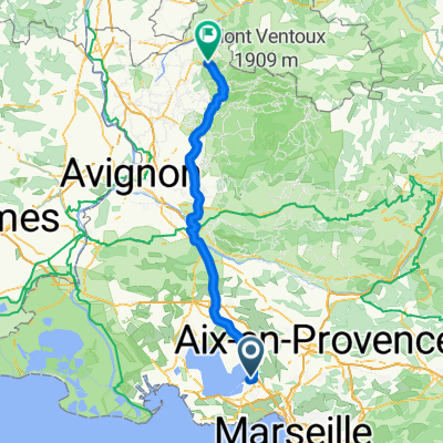
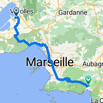
Lotnisko
St. Victoret
Lauret
Le Rove
L'Estaque
Marsylia
Valmante
Col de la Gineste
Cassis
- -:--
- Czas
- 53 km
- Dystans
- 616 m
- Przewyższenia
- 522 m
- Spadek
- ---
- Śr. Prędkość
- ---
- Maks. wysokość

Kontynuuj z Bikemap
Użyj, edytuj lub pobierz tę trasę rowerową
Chcesz przejechać trasę Flughafen Marseille - Cassis lub dostosować ją do swojej wycieczki? Oto, co możesz zrobić z tą trasą na Bikemap:
Darmowe funkcje
- Zapisz tę trasę jako ulubioną lub w kolekcji
- Skopiuj i zaplanuj swoją wersję tej trasy
- Synchronizuj swoją trasę z Garminem lub Wahoo
Funkcje Premium
3 dni bezpłatnej wersji próbnej lub jednorazowa opłata. Dowiedz się więcej o Bikemap Premium.
- Nawiguj po tej trasie na iOS i Androidzie
- Eksportuj plik GPX / KML tej trasy
- Stwórz swój własny wydruk (wypróbuj za darmo)
- Pobierz tę trasę do nawigacji offline
Odkryj więcej funkcji Premium.
Uzyskaj Bikemap PremiumOd naszej społeczności
Vitrolles: Inne popularne trasy rozpoczynające się tutaj
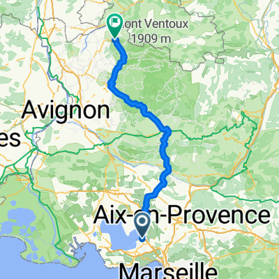 Marseille to Romain
- Dystans
- 138,3 km
- Przewyższenia
- 1481 m
- Spadek
- 1267 m
- Lokalizacja
- Vitrolles, Prowansja-Alpy-Lazurowe Wybrzeże, Francja
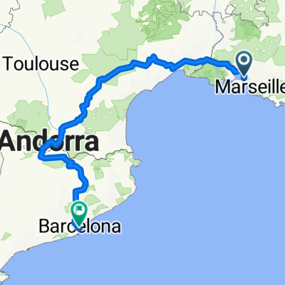 Marseille-Barcelona
- Dystans
- 809,4 km
- Przewyższenia
- 5469 m
- Spadek
- 5437 m
- Lokalizacja
- Vitrolles, Prowansja-Alpy-Lazurowe Wybrzeże, Francja
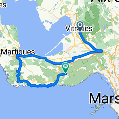 210329_Vitroles_Redonne
- Dystans
- 58,6 km
- Przewyższenia
- 379 m
- Spadek
- 383 m
- Lokalizacja
- Vitrolles, Prowansja-Alpy-Lazurowe Wybrzeże, Francja
 Marseille to Romain Easy
- Dystans
- 111,4 km
- Przewyższenia
- 609 m
- Spadek
- 399 m
- Lokalizacja
- Vitrolles, Prowansja-Alpy-Lazurowe Wybrzeże, Francja
 eyguiéres/lamanon
- Dystans
- 140,6 km
- Przewyższenia
- 661 m
- Spadek
- 648 m
- Lokalizacja
- Vitrolles, Prowansja-Alpy-Lazurowe Wybrzeże, Francja
 Flughafen Marseille - Cassis
- Dystans
- 53 km
- Przewyższenia
- 616 m
- Spadek
- 522 m
- Lokalizacja
- Vitrolles, Prowansja-Alpy-Lazurowe Wybrzeże, Francja
 sommer 2017
- Dystans
- 871,5 km
- Przewyższenia
- 1896 m
- Spadek
- 1980 m
- Lokalizacja
- Vitrolles, Prowansja-Alpy-Lazurowe Wybrzeże, Francja
 Easter 2018 Eurovelo 8
- Dystans
- 278,7 km
- Przewyższenia
- 1224 m
- Spadek
- 1220 m
- Lokalizacja
- Vitrolles, Prowansja-Alpy-Lazurowe Wybrzeże, Francja
Otwórz ją w aplikacji