

sdf dffff
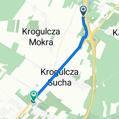
Trasa rowerowa rozpoczynająca się w Orońsko, Województwo mazowieckie, Poland.
Przegląd
O tej trasie
adas
- -:--
- Czas
- 22,2 km
- Dystans
- 94 m
- Przewyższenia
- 95 m
- Spadek
- ---
- Śr. Prędkość
- ---
- Maks. wysokość
Jakość trasy
Typy dróg i nawierzchnie na trasie
Typy dróg
Spokojna droga
15,3 km
(69 %)
Droga
2,8 km
(13 %)
Powierzchnie
Utwardzona
7,4 km
(33 %)
Nieutwardzona
0,8 km
(4 %)
Asfalt
6,8 km
(30 %)
Nieutwardzony (nieokreślony)
0,8 km
(4 %)
Najważniejsze punkty trasy
Punkty zainteresowania na trasie

Interesujące miejsce po 11,1 km
Szydlowiecki parish church of St. Nicholas. Sigismund, erected on January 1, 1401, the university students we offer the brothers Jacob and Sławosz Odrowąż who adopted the name of the property later Szydłowieccy name is a monument worthy of attention. The original church was wooden. In 1493, James Szydlowiecki (margrave of Cracow and treasurer of the Crown) began the construction of a brick church. The work ended with his brother Nicholas Szydlowiecki (Castellan Radom and treasurer of the Crown) about 1525 The late-Gothic church oriented (located on the east-west axis) built of local sandstone. The church is an example of the use of sandstone blocks Szydłowiec a monumental religious building. The walls are tight-fitting buttresses, the church orbit profiled cornices. Temple consists of a rectangular nave and chancel. The nave is not vaulted, has a ceiling (currently comes from the first half of the eighteenth century, the original was below). The sanctuary adjacent to the north Gothic sacristy and the treasury. On the south side of the nave is adjacent to the chapel of the Blessed Virgin Mary, built originally as a necropolis Szydłowieccy, and from the north - Chapel St. Stanislaus and porch. In times Radziwill from the west, on the axis of the church, was added to the main aisle of the new porch. Turret with a turret from the mid-seventeenth century The interior is dominated by the Renaissance style. In the corner of the nave, next to the entrance to the chapel of the Blessed Virgin Mary, is a late Gothic font of local sandstone, founded by Nicholas Szydłowiecki. In the chancel on the north wall is placed a beautiful late Gothic polyptych, depicting the Assumption of the Blessed Virgin Mary and the Gospel scene, made in 1509 in the workshop of Krakow. For poliptych envisioned were also members of the family Szydłowieccy who were its founders.
Kontynuuj z Bikemap
Użyj, edytuj lub pobierz tę trasę rowerową
Chcesz przejechać trasę sdf dffff lub dostosować ją do swojej wycieczki? Oto, co możesz zrobić z tą trasą na Bikemap:
Darmowe funkcje
- Zapisz tę trasę jako ulubioną lub w kolekcji
- Skopiuj i zaplanuj swoją wersję tej trasy
- Synchronizuj swoją trasę z Garminem lub Wahoo
Funkcje Premium
3 dni bezpłatnej wersji próbnej lub jednorazowa opłata. Dowiedz się więcej o Bikemap Premium.
- Nawiguj po tej trasie na iOS i Androidzie
- Eksportuj plik GPX / KML tej trasy
- Stwórz swój własny wydruk (wypróbuj za darmo)
- Pobierz tę trasę do nawigacji offline
Odkryj więcej funkcji Premium.
Uzyskaj Bikemap PremiumOd naszej społeczności
Orońsko: Inne popularne trasy rozpoczynające się tutaj
 Recovered Route
- Dystans
- 1,9 km
- Przewyższenia
- 20 m
- Spadek
- 13 m
- Lokalizacja
- Orońsko, Województwo mazowieckie, Poland
 Recovered Route
- Dystans
- 18,7 km
- Przewyższenia
- 64 m
- Spadek
- 71 m
- Lokalizacja
- Orońsko, Województwo mazowieckie, Poland
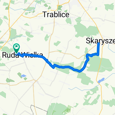 Do Skaryszewa i z powrotem z Tomaszowa
- Dystans
- 40,8 km
- Przewyższenia
- 142 m
- Spadek
- 142 m
- Lokalizacja
- Orońsko, Województwo mazowieckie, Poland
 orońsko
- Dystans
- 17,4 km
- Przewyższenia
- 65 m
- Spadek
- 97 m
- Lokalizacja
- Orońsko, Województwo mazowieckie, Poland
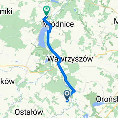
 Waliny 52, Wolanów do Kolejowa 3, Wolanów
- Dystans
- 5 km
- Przewyższenia
- 20 m
- Spadek
- 31 m
- Lokalizacja
- Orońsko, Województwo mazowieckie, Poland
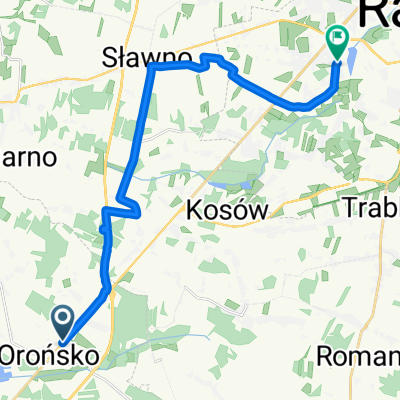
 Co Za Jazda 2020 Szydłowiec - końcówka
- Dystans
- 17 km
- Przewyższenia
- 65 m
- Spadek
- 76 m
- Lokalizacja
- Orońsko, Województwo mazowieckie, Poland
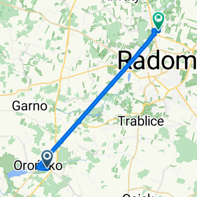 Starowiejska 63, Orońsko do Królowej Jadwigi 16E, Radom
- Dystans
- 21,3 km
- Przewyższenia
- 87 m
- Spadek
- 121 m
- Lokalizacja
- Orońsko, Województwo mazowieckie, Poland
 S7, Orońsko do Radomska 1B, Orońsko
- Dystans
- 2,4 km
- Przewyższenia
- 15 m
- Spadek
- 30 m
- Lokalizacja
- Orońsko, Województwo mazowieckie, Poland
Otwórz ją w aplikacji