

Andermatt - Ilanz
- 63,9 km
- 1766 m
- 2491 m
- Andermatt, Uri, Szwajcaria
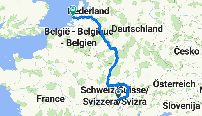
The Rhine Cycle Route is about 1,360 meters long and leads you through five countries. The track starts in the Swiss alps - the headwater area of the Rhine. Then it passes Austria, France and Germany. The route ends in Rotterdam in the Netherlands where the Rhine flows into the North Sea. (cloned from route 2567738)
Droga leśna
365,1 km27 %Spokojna droga
297,5 km22 %Utwardzona
919,4 km(68 %)Nieutwardzona
256,9 km(19 %)Asfalt
878,8 km65 %Żwir
189,3 km14 %
The Rhine Falls (Rheinfall in German) is the largest plain waterfall in Europe. They are 150 m wide and 23 m high.

Speyer is one of the oldest cities in Germany and is therefore historically and culturally important. Most famous is the Imperial Cathedral of Speyer

The Lorelei is a rock on the eastern bank of the Rhine which soars some 120 metres above the waterline. It marks the narrowest part of the river between Switzerland and the North Sea, and is the most famous feature of the Rhine Gorge, a 65 km section of the river between Koblenz and Bingen that was

One of Andernach's natural attractions is the world's highest (max. 64 m) cold-water geyser, driven by carbon dioxide with force generated in a fashion similar to that in a shaken bottle of table water.
3 dni bezpłatnej wersji próbnej lub jednorazowa opłata. Dowiedz się więcej o Bikemap Premium.
Odkryj więcej funkcji Premium.
Uzyskaj Bikemap PremiumOtwórz ją w aplikacji


