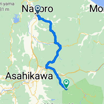
SEP-01-10-NAYORO-ASAHIKAWA
- 82,8 km
- 260 m
- 248 m
- Nayoro, Hokkaido, Japonia
Start i meta na Sunpillar Park, ta 160-kilometrowa trasa wspina się przez tunel Meibo, następnie przez przełęcz Bifuka, zjeżdżając do miasta Bifuka. Następnie podąża łagodnym podjazdem do Niuppu, zanim wznosi się na przełęcz Bifuka-Matsuyama. Długi zjazd kończy się na skrzyżowaniu z drogą krajową 60, gdzie trasa staje się stromym podjazdem przełęczy Horonaigoshi. Po długim zjeździe do Shimokawa podążając wzdłuż rzeki Sanru, krótki podjazd za Sakakuyama prowadzi do Furen-Nisshin, skąd trasa zakręca, aby objechać Furen Bokodai. Następnie przechodzi przez samo miasto Furen, zanim skręci na północ, aby przekroczyć rzekę Teshio, którą podąża z powrotem do Nayoro, spotykając się z trasą wyjściową. Ostatni kilometr lub tak podąża tą samą trasą z powrotem do startu.
Droga
25,7 km16 %Droga rowerowa
19,3 km12 %Utwardzona
14,5 km(9 %)Asfalt
14,5 km9 %Niezdefiniowany
146,3 km91 %You can stop here for a bowl of hot noodles in the restaurant by the railway tracks. 線路の横のレストランで、そばなどがありますよ〜。
3 dni bezpłatnej wersji próbnej lub jednorazowa opłata. Dowiedz się więcej o Bikemap Premium.
Odkryj więcej funkcji Premium.
Uzyskaj Bikemap PremiumOtwórz ją w aplikacji