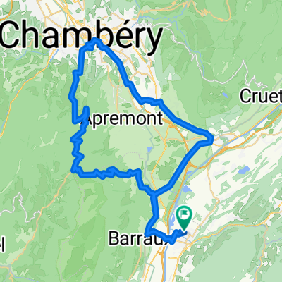
le col de Champlaurent variante "la table"
- 52,2 km
- 917 m
- 917 m
- Pontcharra, Owernia-Rodan-Alpy, Francja
Trasa rowerowa rozpoczynająca się w Pontcharra, Owernia-Rodan-Alpy, Francja.
Przegląd
Przełęcz Champlaurent, wariant 'la table' niezbyt trudne 52 km uwaga na polowania pod Champlaurent powrót przez Le Bourget en H.
Jakość trasy
Droga
18,3 km
35 %
Spokojna droga
2,1 km
4 %
Utwardzona
50,6 km
(97 %)
Asfalt
50,6 km
97 %
Niezdefiniowany
1,6 km
3 %
Najważniejsze punkty trasy

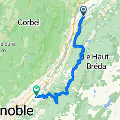
LA VALLEE DU BREDA DANGER VOITURES !!! la photo est "sans" rapport avec le bréda !!
Kontynuuj z Bikemap
Chcesz przejechać trasę le col de Champlaurent variante "la table" lub dostosować ją do swojej wycieczki? Oto, co możesz zrobić z tą trasą na Bikemap:
3 dni bezpłatnej wersji próbnej lub jednorazowa opłata. Dowiedz się więcej o Bikemap Premium.
Odkryj więcej funkcji Premium.
Uzyskaj Bikemap PremiumOd naszej społeczności
Otwórz ją w aplikacji