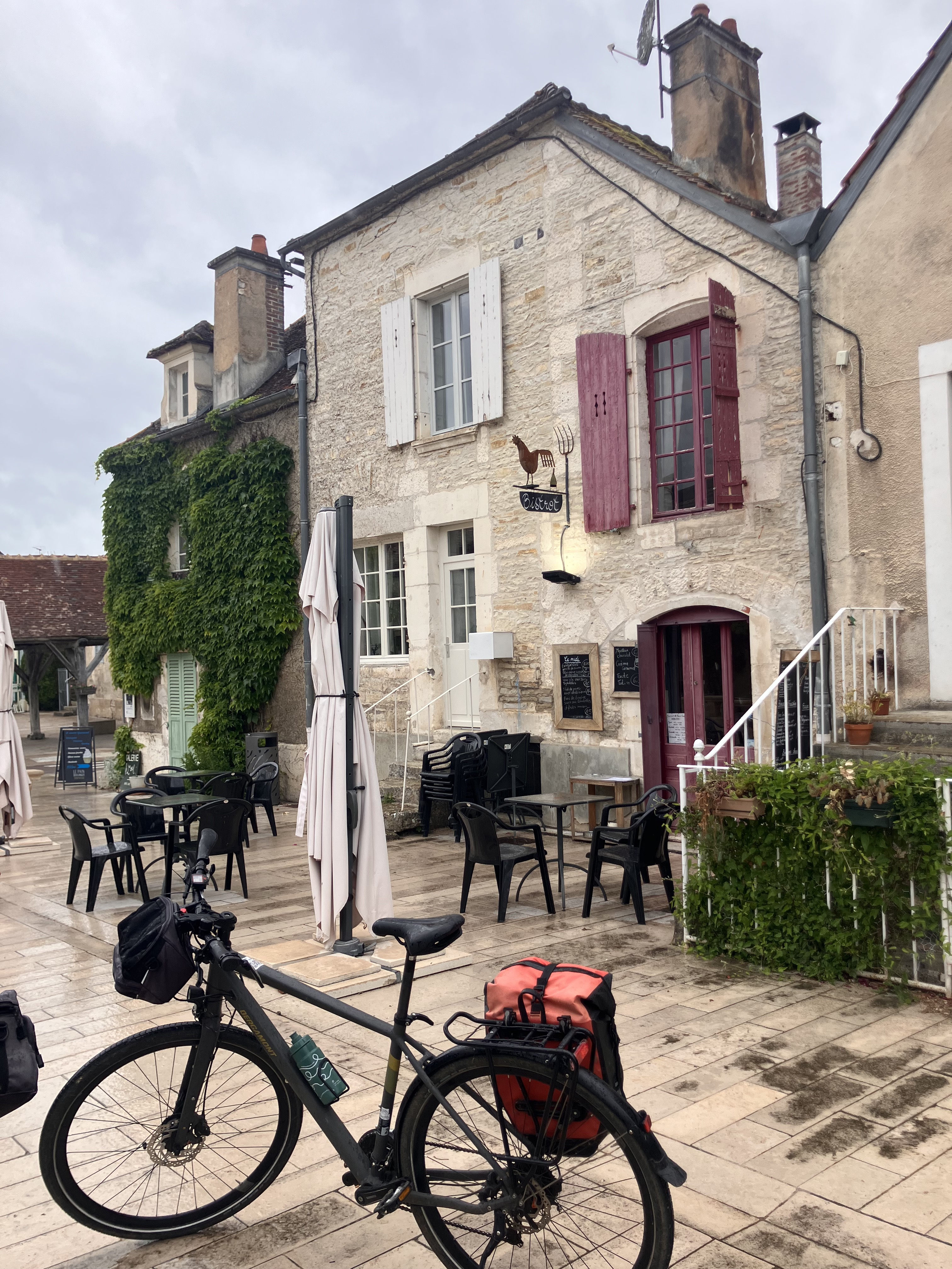
Camino 2015 08b Tonnerre nach Auxerre
Trasa rowerowa rozpoczynająca się w Tonnerre, Burgundia-Franche-Comté, Francja.
Przegląd
O tej trasie
<table border="0" cellpadding="0" cellspacing="0" style="width:232px;" width="232"> <colgroup> <col /> <col /> <col /> <col /> <col /> </colgroup> <tbody> <tr height="20"> <td height="20" style="height:20px;width:34px;"> 5,0</td> <td style="width:34px;"> 5,0</td> <td colspan="2" style="width:98px;"> Vézinnes</td> <td style="width:64px;"> </td> </tr> <tr height="20"> <td height="20" style="height:20px;width:34px;"> 8,0</td> <td style="width:34px;"> 3,0</td> <td> Roffey</td> <td> </td> <td> </td> </tr> <tr height="20"> <td height="20" style="height:20px;width:34px;"> 16,0</td> <td style="width:34px;"> 8,0</td> <td colspan="3"> Villiers-Vineux</td> </tr> <tr height="20"> <td height="20" style="height:20px;width:34px;"> 20,0</td> <td style="width:34px;"> 4,0</td> <td colspan="2"> Jaulges</td> <td> </td> </tr> <tr height="20"> <td height="20" style="height:20px;width:34px;"> 22,0</td> <td style="width:34px;"> 2,0</td> <td> Chéu</td> <td> </td> <td> </td> </tr> <tr height="20"> <td height="20" style="height:20px;width:34px;"> 26,0</td> <td style="width:34px;"> 4,0</td> <td colspan="2"> Vergigny</td> <td> </td> </tr> <tr height="20"> <td height="20" style="height:20px;width:34px;"> 30,0</td> <td style="width:34px;"> 4,0</td> <td colspan="2"> Bouilly</td> <td> </td> </tr> <tr height="20"> <td height="20" style="height:20px;width:34px;"> 35,0</td> <td style="width:34px;"> 5,0</td> <td colspan="3"> Brienon-sur-Armancon</td> </tr> <tr height="20"> <td height="20" style="height:20px;width:34px;"> 38,0</td> <td style="width:34px;"> 3,0</td> <td> Esnon</td> <td> </td> <td> </td> </tr> <tr height="20"> <td height="20" style="height:20px;width:34px;"> 42,0</td> <td style="width:34px;"> 4,0</td> <td colspan="2"> Migennes</td> <td> </td> </tr> <tr height="20"> <td height="20" style="height:20px;width:34px;"> 44,0</td> <td style="width:34px;"> 2,0</td> <td> Cheny</td> <td> </td> <td> </td> </tr> <tr height="20"> <td height="20" style="height:20px;width:34px;"> 48,0</td> <td style="width:34px;"> 4,0</td> <td colspan="2"> Bassou</td> <td> </td> </tr> <tr height="20"> <td height="20" style="height:20px;width:34px;"> 54,0</td> <td style="width:34px;"> 6,0</td> <td colspan="2"> Appoigny</td> <td> </td> </tr> <tr height="20"> <td height="20" style="height:20px;width:34px;"> 60,0</td> <td style="width:34px;"> 6,0</td> <td colspan="2"> Monéteau</td> <td> </td> </tr> <tr height="20"> <td height="20" style="height:20px;width:34px;"> 67,0</td> <td style="width:34px;"> 7,0</td> <td colspan="2"> Auxerre</td> <td> </td> </tr> </tbody> </table>
flache Route entlang von Kanälen Hotel Restaurant De Seignelay<br /> 2 à 6 rue du Pont 89000 Auxerre Telefon +33386520348- -:--
- Czas
- 67,1 km
- Dystans
- 93 m
- Przewyższenia
- 112 m
- Spadek
- ---
- Śr. Prędkość
- ---
- Maks. wysokość
Jakość trasy
Typy dróg i nawierzchnie na trasie
Typy dróg
Droga
32,9 km
(49 %)
Spokojna droga
14,8 km
(22 %)
Powierzchnie
Utwardzona
26,2 km
(39 %)
Nieutwardzona
3,4 km
(5 %)
Asfalt
26,2 km
(39 %)
Żwir
2 km
(3 %)
Kontynuuj z Bikemap
Użyj, edytuj lub pobierz tę trasę rowerową
Chcesz przejechać trasę Camino 2015 08b Tonnerre nach Auxerre lub dostosować ją do swojej wycieczki? Oto, co możesz zrobić z tą trasą na Bikemap:
Darmowe funkcje
- Zapisz tę trasę jako ulubioną lub w kolekcji
- Skopiuj i zaplanuj swoją wersję tej trasy
- Synchronizuj swoją trasę z Garminem lub Wahoo
Funkcje Premium
3 dni bezpłatnej wersji próbnej lub jednorazowa opłata. Dowiedz się więcej o Bikemap Premium.
- Nawiguj po tej trasie na iOS i Androidzie
- Eksportuj plik GPX / KML tej trasy
- Stwórz swój własny wydruk (wypróbuj za darmo)
- Pobierz tę trasę do nawigacji offline
Odkryj więcej funkcji Premium.
Uzyskaj Bikemap PremiumOd naszej społeczności
Tonnerre: Inne popularne trasy rozpoczynające się tutaj
 canal burgundy
- Dystans
- 130,1 km
- Przewyższenia
- 523 m
- Spadek
- 425 m
- Lokalizacja
- Tonnerre, Burgundia-Franche-Comté, Francja
 30 Rue de l'Hôpital, Tonnerre to Avenue Édouard Herriot, Mâcon
- Dystans
- 264,9 km
- Przewyższenia
- 1734 m
- Spadek
- 1704 m
- Lokalizacja
- Tonnerre, Burgundia-Franche-Comté, Francja
 Rue de la Fosse Dionne, Tonnerre to Le Moulin Neuf, Ancy-le-Franc
- Dystans
- 31,5 km
- Przewyższenia
- 77 m
- Spadek
- 45 m
- Lokalizacja
- Tonnerre, Burgundia-Franche-Comté, Francja
 Camino 2015 08 Tonnerre nach Auxerre
- Dystans
- 38,6 km
- Przewyższenia
- 493 m
- Spadek
- 527 m
- Lokalizacja
- Tonnerre, Burgundia-Franche-Comté, Francja
 Camino 2015 08b Tonnerre nach Auxerre
- Dystans
- 67,1 km
- Przewyższenia
- 93 m
- Spadek
- 112 m
- Lokalizacja
- Tonnerre, Burgundia-Franche-Comté, Francja
 2017_E9_Tonnerre_Monéteau
- Dystans
- 73 km
- Przewyższenia
- 161 m
- Spadek
- 200 m
- Lokalizacja
- Tonnerre, Burgundia-Franche-Comté, Francja
 Tonnerre - Néronville
- Dystans
- 117,3 km
- Przewyższenia
- 292 m
- Spadek
- 342 m
- Lokalizacja
- Tonnerre, Burgundia-Franche-Comté, Francja
 Tonnerre-Nuits sur Armençon
- Dystans
- 17 km
- Przewyższenia
- 0 m
- Spadek
- 0 m
- Lokalizacja
- Tonnerre, Burgundia-Franche-Comté, Francja
Otwórz ją w aplikacji


