Col de la Golèse and Col de Joux Plane
- 42 km
- 1705 m
- 1705 m
- Samoëns, Owernia-Rodan-Alpy, Francja
Trasa rowerowa rozpoczynająca się w Samoëns, Owernia-Rodan-Alpy, Francja.
Przegląd
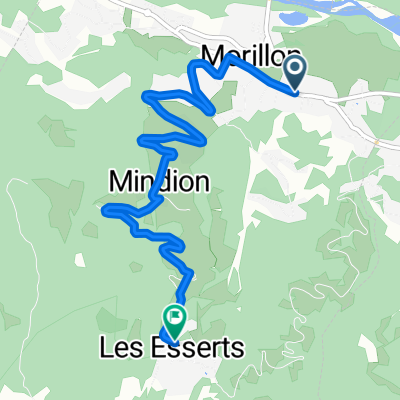
Bardzo stroma, nieutwardzona droga do Lac de Gers. Zaznaczyłem, gdzie kończy się droga. Stamtąd szedłem wyżej piechotą.
utworzono 9 lat temu temu


Najważniejsze punkty trasy
Lac de Gers
ROAD ENDS
Kontynuuj z Bikemap
Chcesz przejechać trasę Lac de Gers and above lub dostosować ją do swojej wycieczki? Oto, co możesz zrobić z tą trasą na Bikemap:
3 dni bezpłatnej wersji próbnej lub jednorazowa opłata. Dowiedz się więcej o Bikemap Premium.
Odkryj więcej funkcji Premium.
Uzyskaj Bikemap PremiumOd naszej społeczności
Otwórz ją w aplikacji