- 71,4 km
- 1378 m
- 1026 m
- Stadt Winterthur (Kreis 1) / Altstadt, Zurych, Szwajcaria
Büblikon - St. Moritz - Venedig - Mendrisio
Trasa rowerowa rozpoczynająca się w Stadt Winterthur (Kreis 1) / Altstadt, Zurych, Szwajcaria.
Przegląd
O tej trasie
- -:--
- Czas
- 806 km
- Dystans
- 4165 m
- Przewyższenia
- 4614 m
- Spadek
- ---
- Śr. Prędkość
- ---
- Maks. wysokość
utworzono 16 lat temu temu
Najważniejsze punkty trasy
Punkty zainteresowania na trasie
Interesujące miejsce po 0 km
Start mit Zug in Büblikon - nach Winterthur Tag1
Interesujące miejsce po 78,8 km
Ende Tag 1 Winterthur-Appenzell 73 km.
Interesujące miejsce po 187 km
Chur Pontresina nach Tag 2 Mit Zug 2 Stunden.
Interesujące miejsce po 210,8 km
Interesujące miejsce po 304,9 km
Tag 3 55 km http://www.anniwinkler.com/
Interesujące miejsce po 394,4 km
Tag 4 85 km http://meran.jugendherberge.it/cs.asp?st=111
Interesujące miejsce po 482 km
Tag 5 92 km
Interesujące miejsce po 557 km
Tag 6 72 km Diverse Hotels / Hostels auf Route.
Interesujące miejsce po 618,7 km
Tag 7 61 km grössere Stadt
Interesujące miejsce po 695,4 km
Tag 8 77 km
Interesujące miejsce po 748,7 km
Tag 9 57 km
Interesujące miejsce po 806 km
Tag 10 60 km
Kontynuuj z Bikemap
Użyj, edytuj lub pobierz tę trasę rowerową
Chcesz przejechać trasę Büblikon - St. Moritz - Venedig - Mendrisio lub dostosować ją do swojej wycieczki? Oto, co możesz zrobić z tą trasą na Bikemap:
Darmowe funkcje
- Zapisz tę trasę jako ulubioną lub w kolekcji
- Skopiuj i zaplanuj swoją wersję tej trasy
- Podziel trasę na etapy, aby utworzyć kilkudniową wycieczkę
- Synchronizuj swoją trasę z Garminem lub Wahoo
Funkcje Premium
3 dni bezpłatnej wersji próbnej lub jednorazowa opłata. Dowiedz się więcej o Bikemap Premium.
- Nawiguj po tej trasie na iOS i Androidzie
- Eksportuj plik GPX / KML tej trasy
- Stwórz swój własny wydruk (wypróbuj za darmo)
- Pobierz tę trasę do nawigacji offline
Odkryj więcej funkcji Premium.
Uzyskaj Bikemap PremiumOd naszej społeczności
Stadt Winterthur (Kreis 1) / Altstadt: Inne popularne trasy rozpoczynające się tutaj
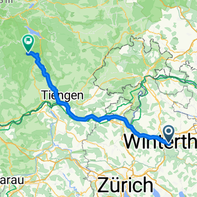
- Bahnhofplatz nach St.Blasien
- Stadt Winterthur (Kreis 1) / Altstadt - Neuhausen am Rheinfall
- 26,6 km
- 266 m
- 308 m
- Stadt Winterthur (Kreis 1) / Altstadt, Zurych, Szwajcaria
- Büblikon - St. Moritz - Venedig - Mendrisio
- 806 km
- 4165 m
- 4614 m
- Stadt Winterthur (Kreis 1) / Altstadt, Zurych, Szwajcaria
- Winti-Fehraltorf-Winti
- 32,1 km
- 271 m
- 270 m
- Stadt Winterthur (Kreis 1) / Altstadt, Zurych, Szwajcaria
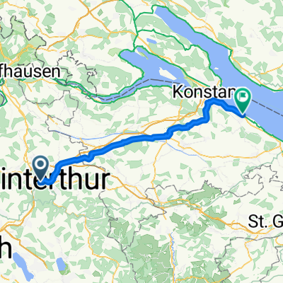
- Winterthur nach Altnau
- 55,2 km
- 527 m
- 555 m
- Stadt Winterthur (Kreis 1) / Altstadt, Zurych, Szwajcaria
- Stadt Winterthur (Kreis 1) / Altstadt - Arbon
- 79,1 km
- 622 m
- 665 m
- Stadt Winterthur (Kreis 1) / Altstadt, Zurych, Szwajcaria
- Säntisclassic von Winti
- 159,6 km
- 1430 m
- 1431 m
- Stadt Winterthur (Kreis 1) / Altstadt, Zurych, Szwajcaria
- ch26-101 Herzschlaufe 999/1
- 55 km
- 1714 m
- 1586 m
- Stadt Winterthur (Kreis 1) / Altstadt, Zurych, Szwajcaria
Otwórz ją w aplikacji


