

222
- 56,1 km
- 1312 m
- 1031 m
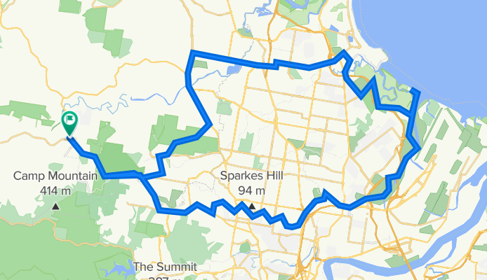
- Samford Valley, State of Queensland, Australia
Trasa rowerowa rozpoczynająca się w Samford Valley, State of Queensland, Australia.
Przegląd
Wzdłuż Kedron Brook Bikeway do plaży Nudgees. Wróć tą samą drogą lub przez Boondall Wetlands, Bracken Ridge i Albany Ck.
utworzono 18 lat temu temu
Najważniejsze punkty trasy
Get onto the bikeway here, near Brookside Shopping Centre.
Check out the Flying Fox colony in the trees straight ahead.
Watch for cars when crossing the road.
Watch for cars when crossing the road.
If you have time, do a couple of laps of the criterium track.
Nudgee Road, ride along the pathway or the road.
Stop here for a break in the car park and admire the ocean view.
Pause for another break before heading for home.
Back onto roads again.
Kontynuuj z Bikemap
Chcesz przejechać trasę Kedron Brook Bikeway - Nudgee Beach lub dostosować ją do swojej wycieczki? Oto, co możesz zrobić z tą trasą na Bikemap:
3 dni bezpłatnej wersji próbnej lub jednorazowa opłata. Dowiedz się więcej o Bikemap Premium.
Odkryj więcej funkcji Premium.
Uzyskaj Bikemap PremiumOd naszej społeczności
Otwórz ją w aplikacji


