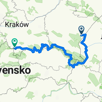
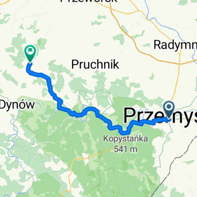
Grody Czerwieńskie
A cycling route starting in Przemyśl, Subcarpathian Voivodeship, Poland.
Overview
About this route
- -:--
- Duration
- 255.3 km
- Distance
- 401 m
- Ascent
- 398 m
- Descent
- ---
- Avg. speed
- ---
- Max. altitude
Route quality
Waytypes & surfaces along the route
Waytypes
Road
167.2 km
(65 %)
Busy road
34.7 km
(14 %)
Surfaces
Paved
187.6 km
(73 %)
Unpaved
6.9 km
(3 %)
Asphalt
179 km
(70 %)
Paving stones
8.3 km
(3 %)
Continue with Bikemap
Use, edit, or download this cycling route
You would like to ride Grody Czerwieńskie or customize it for your own trip? Here is what you can do with this Bikemap route:
Free features
- Save this route as favorite or in collections
- Copy & plan your own version of this route
- Split it into stages to create a multi-day tour
- Sync your route with Garmin or Wahoo
Premium features
Free trial for 3 days, or one-time payment. More about Bikemap Premium.
- Navigate this route on iOS & Android
- Export a GPX / KML file of this route
- Create your custom printout (try it for free)
- Download this route for offline navigation
Discover more Premium features.
Get Bikemap PremiumFrom our community
Other popular routes starting in Przemyśl
- Przemyśl-Fredropol-Huwniki-Bircza-Przemyśl
- Distance
- 80.3 km
- Ascent
- 809 m
- Descent
- 796 m
- Location
- Przemyśl, Subcarpathian Voivodeship, Poland
- Cyklokarpaty 2013 - Twierdza Przemyśl - HOBBY
- Distance
- 11.6 km
- Ascent
- 322 m
- Descent
- 322 m
- Location
- Przemyśl, Subcarpathian Voivodeship, Poland
- Przemysl - wisan
- Distance
- 95.2 km
- Ascent
- 1,970 m
- Descent
- 1,692 m
- Location
- Przemyśl, Subcarpathian Voivodeship, Poland
- Przemyśl (Gmina) Bieg
- Distance
- 27.8 km
- Ascent
- 581 m
- Descent
- 582 m
- Location
- Przemyśl, Subcarpathian Voivodeship, Poland
- Przemyśl-Prałkowce-Brylińce-Krasiczyn-Przemyśl
- Distance
- 41.2 km
- Ascent
- 487 m
- Descent
- 495 m
- Location
- Przemyśl, Subcarpathian Voivodeship, Poland
- Dookoła Polski 1dzień (Przemyśl-Nowa Wieś)
- Distance
- 32.4 km
- Ascent
- 465 m
- Descent
- 404 m
- Location
- Przemyśl, Subcarpathian Voivodeship, Poland
- BIES - KIDY 2016.07
- Distance
- 570.4 km
- Ascent
- 1,675 m
- Descent
- 1,721 m
- Location
- Przemyśl, Subcarpathian Voivodeship, Poland
- Przemyśl-Lecka-Bachórz
- Distance
- 82.4 km
- Ascent
- 531 m
- Descent
- 563 m
- Location
- Przemyśl, Subcarpathian Voivodeship, Poland
Open it in the app