

Wawa - Ciechocinek przez Śladów, Słubice, Gostynin, Włocławek 200km
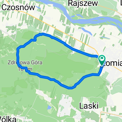
Trasa rowerowa rozpoczynająca się w Łomianki, Województwo mazowieckie, Polska.
Przegląd
O tej trasie
asfalty
- -:--
- Czas
- 199,9 km
- Dystans
- 172 m
- Przewyższenia
- 203 m
- Spadek
- ---
- Śr. Prędkość
- ---
- Maks. wysokość
Jakość trasy
Typy dróg i nawierzchnie na trasie
Typy dróg
Droga
38 km
(19 %)
Spokojna droga
32 km
(16 %)
Powierzchnie
Utwardzona
145,9 km
(73 %)
Nieutwardzona
8 km
(4 %)
Asfalt
141,9 km
(71 %)
Nawierzchnia (nieokreślona)
4 km
(2 %)
Kontynuuj z Bikemap
Użyj, edytuj lub pobierz tę trasę rowerową
Chcesz przejechać trasę Wawa - Ciechocinek przez Śladów, Słubice, Gostynin, Włocławek 200km lub dostosować ją do swojej wycieczki? Oto, co możesz zrobić z tą trasą na Bikemap:
Darmowe funkcje
- Zapisz tę trasę jako ulubioną lub w kolekcji
- Skopiuj i zaplanuj swoją wersję tej trasy
- Podziel trasę na etapy, aby utworzyć kilkudniową wycieczkę
- Synchronizuj swoją trasę z Garminem lub Wahoo
Funkcje Premium
3 dni bezpłatnej wersji próbnej lub jednorazowa opłata. Dowiedz się więcej o Bikemap Premium.
- Nawiguj po tej trasie na iOS i Androidzie
- Eksportuj plik GPX / KML tej trasy
- Stwórz swój własny wydruk (wypróbuj za darmo)
- Pobierz tę trasę do nawigacji offline
Odkryj więcej funkcji Premium.
Uzyskaj Bikemap PremiumOd naszej społeczności
Łomianki: Inne popularne trasy rozpoczynające się tutaj
 Jupiter - Veturilo i autobus Aluzyjna
- Dystans
- 1,8 km
- Przewyższenia
- 0 m
- Spadek
- 0 m
- Lokalizacja
- Łomianki, Województwo mazowieckie, Polska
 do palmir
- Dystans
- 25,6 km
- Przewyższenia
- 63 m
- Spadek
- 64 m
- Lokalizacja
- Łomianki, Województwo mazowieckie, Polska
 Po-wale
- Dystans
- 12,6 km
- Przewyższenia
- 13 m
- Spadek
- 18 m
- Lokalizacja
- Łomianki, Województwo mazowieckie, Polska
 Warszawa Pisz bocznymi drogami / side roads
- Dystans
- 201,1 km
- Przewyższenia
- 214 m
- Spadek
- 170 m
- Lokalizacja
- Łomianki, Województwo mazowieckie, Polska
 Chata Trapera - Nowy Dwór - Chata Trapera
- Dystans
- 55,2 km
- Przewyższenia
- 52 m
- Spadek
- 53 m
- Lokalizacja
- Łomianki, Województwo mazowieckie, Polska
 Kampinoski Szlak Rowerowy
- Dystans
- 129,7 km
- Przewyższenia
- 142 m
- Spadek
- 140 m
- Lokalizacja
- Łomianki, Województwo mazowieckie, Polska
 Leki trening MTB cz.1
- Dystans
- 19,9 km
- Przewyższenia
- 390 m
- Spadek
- 384 m
- Lokalizacja
- Łomianki, Województwo mazowieckie, Polska
 MTB Mazovia 2010 - Łomianki 03.10.2010 (Epilog)
- Dystans
- 54,2 km
- Przewyższenia
- 90 m
- Spadek
- 88 m
- Lokalizacja
- Łomianki, Województwo mazowieckie, Polska
Otwórz ją w aplikacji