Up Ohio
- 25,2 km
- 170 m
- 170 m
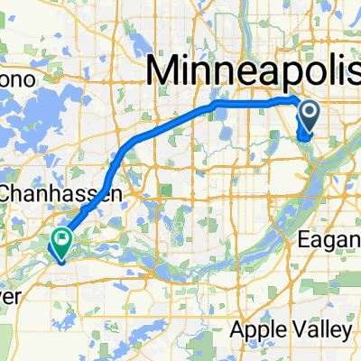
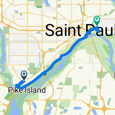
- Mendota Heights, Minnesota, USA
Trasa rowerowa rozpoczynająca się w Mendota Heights, Minnesota, USA.
Przegląd
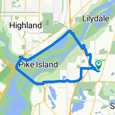
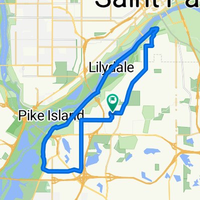
Weź Highland Parkway (tuż na północ od Ford Parkway) do Mississippi River Blvd i skręć w prawo. Jedź Mississippi River Blvd na północ, aż dotrzesz do mostu Marshall/Lake. Kontynuuj jazdę pod mostem, a następnie skręć w pierwszą prawo po moście, aby wrócić do Marhshall Ave. Skręć w prawo, aby jechać na zachód przez most. Kiedy będziesz po zachodniej stronie mostu, skręć w prawo w W River Pkwy. Kontynuuj na W River Pkwy, aż dotrzesz do 11th Avenue, gdzie skręcisz w lewo i weźmiesz ścieżkę rowerową do 5th St (tuż obok Metrodome). Skręć w prawo na 5th St, przejedź obok Metrodome dalej przez kilka przecznic do Portland Avenue (uwaga: 5th St nie ma ścieżki rowerowej, ale ruch jest zazwyczaj płynny). Skręć w prawo na 5th AVENUE w stronę 4th street (1 blok). Skręć w lewo w 4th St i przejdź swój ostatni blok do swojego celu.
utworzono 17 lat temu temu
Jakość trasy
Spokojna droga
5,7 km
(43 %)
Droga
5,2 km
(39 %)
Utwardzona
10,9 km
(82 %)
Asfalt
10,1 km
(76 %)
Beton
0,7 km
(5 %)
Kontynuuj z Bikemap
Chcesz przejechać trasę B2B00333 55116 > 55415 via West River Rd lub dostosować ją do swojej wycieczki? Oto, co możesz zrobić z tą trasą na Bikemap:
3 dni bezpłatnej wersji próbnej lub jednorazowa opłata. Dowiedz się więcej o Bikemap Premium.
Odkryj więcej funkcji Premium.
Uzyskaj Bikemap PremiumOd naszej społeczności
Otwórz ją w aplikacji