1170 Rosendale Dr, Beavercreek to 1170 Rosendale Dr, Beavercreek
- 2,8 km
- 0 m
- 0 m
- Beavercreek, Ohio, USA
Trasa rowerowa rozpoczynająca się w Beavercreek, Ohio, USA.
Przegląd
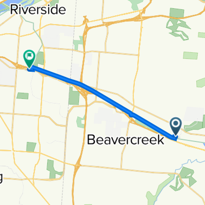
To jest 64 kilometrowa trasa z pracy do domu, która prowadzi przez wzgórza w Bellbrook, zanim wróci do domu. W prawo na Factory W prawo na Indian Ripple W lewo na S. Alpha Bellbrook W lewo na McBee (na Skyland) W lewo na Upper Bellbrook W prawo na Mead W prawo na Stewart Rd W lewo na Washington Mill Rd W lewo na Lower Bellbrook Rd W prawo na Schnebly Rd W prawo na Richland Rd W lewo na Simison Rd W prawo na Schnebly Rd W lewo na Bellbrook Ave Bellbrook St E Main St W Spring Valley Painters Rd. W lewo na Elam Rd W lewo na Richland Rd. W lewo na Lower Bellbrook Rd W prawo na Spahr Rd W lewo na Washington Mill Rd. W prawo na East Franklin St.
utworzono 17 lat temu temu
Jakość trasy
Droga
26,4 km
(44 %)
Spokojna droga
18,6 km
(31 %)
Utwardzona
1,2 km
(2 %)
Nieutwardzona
0,6 km
(1 %)
Asfalt
1,2 km
(2 %)
Żwir
0,6 km
(1 %)
Niezdefiniowany
58,3 km
(97 %)
Kontynuuj z Bikemap
Chcesz przejechać trasę RFW - Bellbrook Rolling Hills lub dostosować ją do swojej wycieczki? Oto, co możesz zrobić z tą trasą na Bikemap:
3 dni bezpłatnej wersji próbnej lub jednorazowa opłata. Dowiedz się więcej o Bikemap Premium.
Odkryj więcej funkcji Premium.
Uzyskaj Bikemap PremiumOd naszej społeczności
Otwórz ją w aplikacji