- 37,3 km
- 407 m
- 454 m
- Trimsaran, Walia, Zjednoczone Królestwo Wielkiej Brytanii
Climb challenge
Trasa rowerowa rozpoczynająca się w Trimsaran, Walia, Zjednoczone Królestwo Wielkiej Brytanii.
Przegląd
O tej trasie
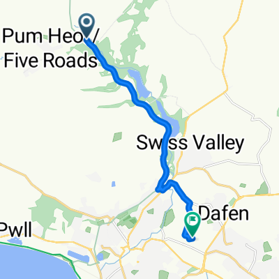
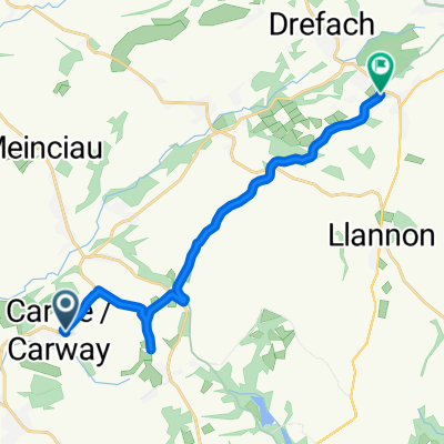
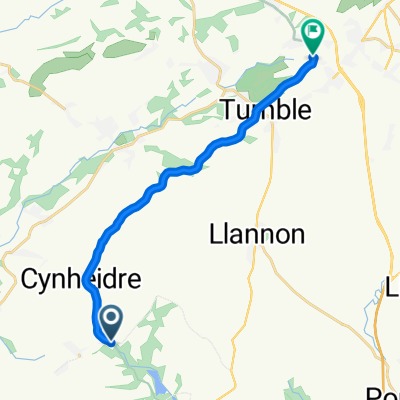
To jest poważne wyzwanie, które obejmuje główne drogi, drogi wiejskie i ścieżki rowerowe. Znajdują się tu strome podjazdy, a Herberdeg Road jest, moim zdaniem, najtrudniejsza. Główne drogi nie są zbyt ruchliwe, ale niektóre drogi wiejskie są wąskie i miejscami o nierównej nawierzchni, przygotuj się na zatrzymanie, aby przepuścić ruch. Niektórzy z was uznają podjazdy za zbyt wymagające, ale jeśli uda wam się przejść ten kurs, wtedy Alpe d'Huez będzie bułką z masłem (może)? Ostatnia część trasy od Cynheidre do Trimsaran to głównie ścieżka rowerowa i relaksująca jazda powrotna do Trimsaran. Rozpocznij w centrum rekreacyjnym Trimsaran i zakończ tutaj filiżanką herbaty w Cafe Becca. Jedź z Trimsaran w kierunku Mynyddygarreg na rozgrzewkę pod górę, a następnie głównie zjeżdżaj w kierunku Pontyates. Naprawdę musisz mieć ze sobą nogi do jazdy po wzgórzach, aby ukończyć ten kurs. To nie jest wyścig i proszę, nie traktuj tego jako takiego, ponieważ niektóre z dróg nie są do tego przystosowane, ale co za rozszerzenie płuc. Uwaga, gdy wchodzisz do Trimsaran po raz drugi, niektórzy z was mogą chcieć zakończyć wyzwanie tutaj. Ponadto przy ostatniej wizycie w Cynheidre możesz wrócić najkrótszą główną trasą do Trimsaran, z tylko jednym ostrym małym podjazdem, gdy skręcisz z Pontyates w kierunku Carway.
- -:--
- Czas
- 75 km
- Dystans
- 869 m
- Przewyższenia
- 869 m
- Spadek
- ---
- Śr. Prędkość
- ---
- Maks. wysokość
utworzono 6 lat temu temu
Jakość trasy
Typy dróg i nawierzchnie na trasie
Typy dróg
Spokojna droga
36,8 km
(49 %)
Droga rowerowa
16,5 km
(22 %)
Powierzchnie
Utwardzona
27 km
(36 %)
Asfalt
27 km
(36 %)
Niezdefiniowany
48 km
(64 %)
Kontynuuj z Bikemap
Użyj, edytuj lub pobierz tę trasę rowerową
Chcesz przejechać trasę Climb challenge lub dostosować ją do swojej wycieczki? Oto, co możesz zrobić z tą trasą na Bikemap:
Darmowe funkcje
- Zapisz tę trasę jako ulubioną lub w kolekcji
- Skopiuj i zaplanuj swoją wersję tej trasy
- Synchronizuj swoją trasę z Garminem lub Wahoo
Funkcje Premium
3 dni bezpłatnej wersji próbnej lub jednorazowa opłata. Dowiedz się więcej o Bikemap Premium.
- Nawiguj po tej trasie na iOS i Androidzie
- Eksportuj plik GPX / KML tej trasy
- Stwórz swój własny wydruk (wypróbuj za darmo)
- Pobierz tę trasę do nawigacji offline
Odkryj więcej funkcji Premium.
Uzyskaj Bikemap PremiumOd naszej społeczności
Trimsaran: Inne popularne trasy rozpoczynające się tutaj
- Trimsaran, Meincau, Trimsaran, Pen Y Mynydd, Pembrey, Llanelli
- Heol Horeb to Tir Capel
- 7 km
- 27 m
- 116 m
- Trimsaran, Walia, Zjednoczone Królestwo Wielkiej Brytanii
- Capel Teilo Road, Kidwelly to Capel Teilo Road, Kidwelly
- 7 km
- 0 m
- 17 m
- Trimsaran, Walia, Zjednoczone Królestwo Wielkiej Brytanii
- Heol Horeb, Five Roads, Llanelli to 60 Carmarthen Road, Llanelli
- 11,8 km
- 76 m
- 51 m
- Trimsaran, Walia, Zjednoczone Królestwo Wielkiej Brytanii
- 51.736, -4.223 to 51.786, -4.117
- 12,9 km
- 204 m
- 113 m
- Trimsaran, Walia, Zjednoczone Królestwo Wielkiej Brytanii
- Climb challenge
- 75 km
- 869 m
- 869 m
- Trimsaran, Walia, Zjednoczone Królestwo Wielkiej Brytanii
- Moderate route in Llanelli
- 11,8 km
- 121 m
- 92 m
- Trimsaran, Walia, Zjednoczone Królestwo Wielkiej Brytanii
- Slow ride in Llanelli
- 21,2 km
- 104 m
- 150 m
- Trimsaran, Walia, Zjednoczone Królestwo Wielkiej Brytanii
Otwórz ją w aplikacji


