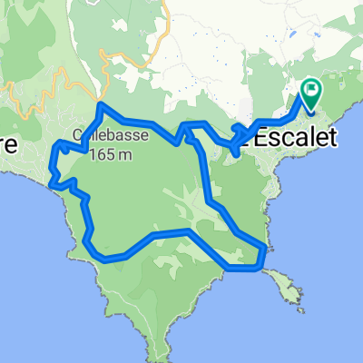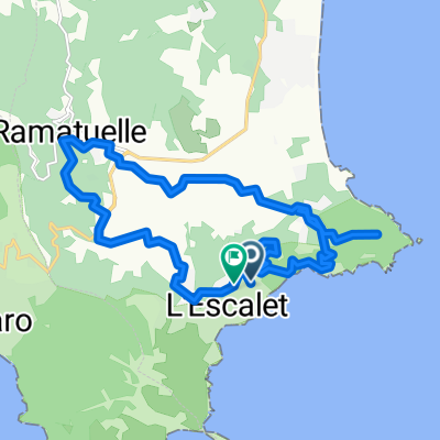
Ramatuelle, vinice, majak
- 20,6 km
- 562 m
- 571 m
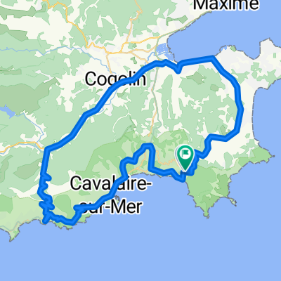
- Ramatuelle, Prowansja-Alpy-Lazurowe Wybrzeże, Francja
Trasa rowerowa rozpoczynająca się w Ramatuelle, Prowansja-Alpy-Lazurowe Wybrzeże, Francja.
Przegląd
Niesamowita letnia przejażdżka, którą robię na wakacjach, prawie codziennie przez 2 tygodnie. Ma wszystko, fantastyczne trasy przez prowansalską wieś z wspaniałymi otwierającymi oczy zapachami. Fajne urozmaicone profil, z wieloma wzniesieniami i opadami, świetny trening podczas wspinaczki na "Col Du Vignon" na 352 m. Krótkie spotkanie z ruchem przy wjeździe/wyjeździe ze St Tropez, ale mimo to ekscytacja przy wyprzedzaniu statycznych Porsche i Ferrarich. Przechodzi przez lub w pobliżu następujących wsi: - Ramatuelle - Gassin - Porte Grimaud - Plan de la Tour - Garde-Freinet - Grimaud - Cogolin - La Croix-Valmer - Gigaro Nie ma lepszego niż to!!
utworzono 15 lat temu temu
Najważniejsze punkty trasy
”")
”")
”")
”")
Nice down speed up to 70 kph
”")
”")
”")
”")
”")
”")
”")
”")
”")
”")
”")
Kontynuuj z Bikemap
Chcesz przejechać trasę La Croix-Valmer (near St Tropez) lub dostosować ją do swojej wycieczki? Oto, co możesz zrobić z tą trasą na Bikemap:
3 dni bezpłatnej wersji próbnej lub jednorazowa opłata. Dowiedz się więcej o Bikemap Premium.
Odkryj więcej funkcji Premium.
Uzyskaj Bikemap PremiumOd naszej społeczności
Otwórz ją w aplikacji