P-Biel/Grenchen/Plagne (31km)
Trasa rowerowa rozpoczynająca się w Biel, Berno, Szwajcaria.
Przegląd
O tej trasie
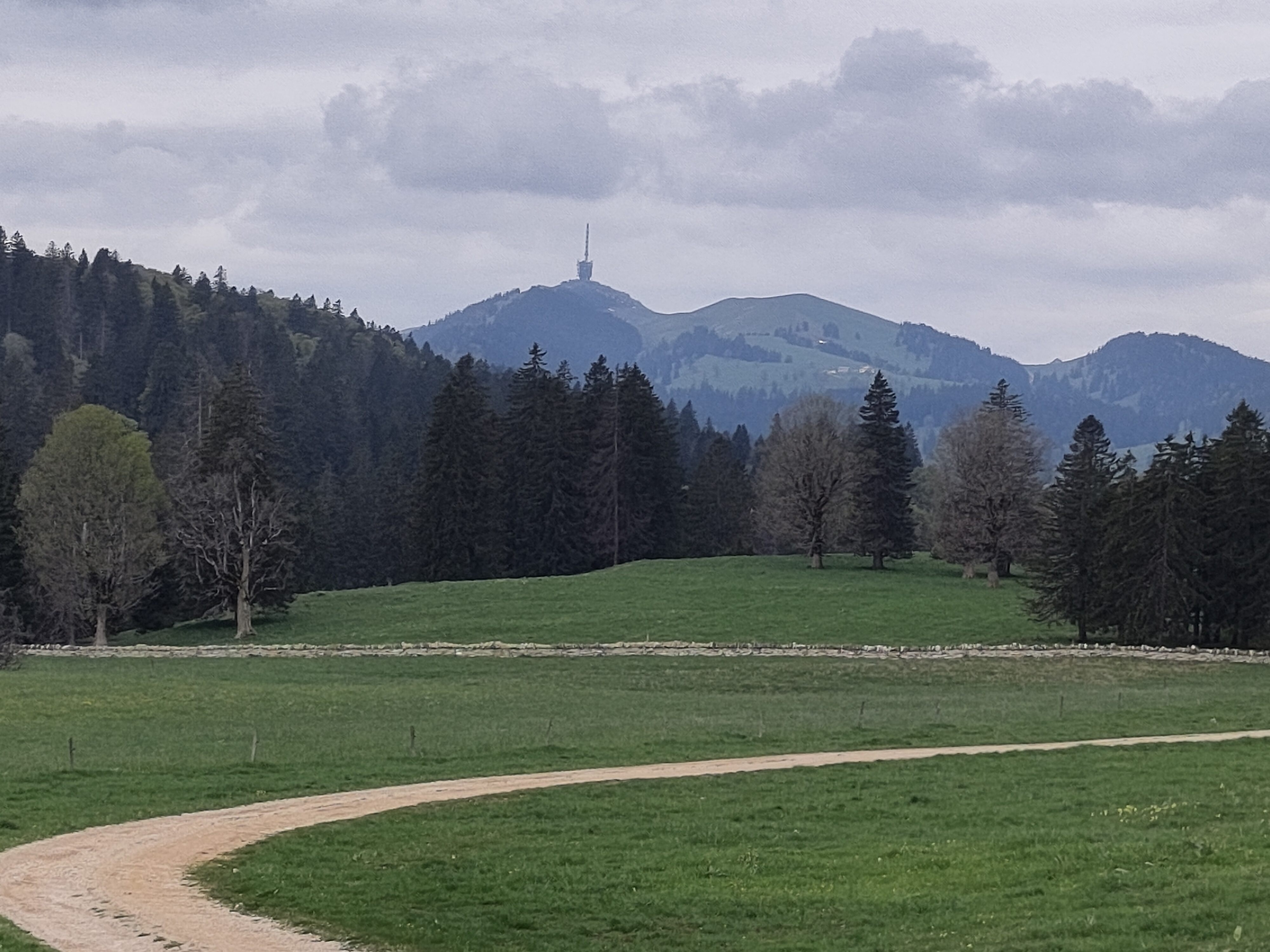
Cudowna trasa (wszystko asfaltowe); do Grenchen jest płasko, ale to ok na rozgrzewkę, następnie zaczyna się naprawdę ładna trasa i krajobraz. Najtrudniejsza część podjazdu to prawdopodobnie 1 km pod 9% (około km 15, strefa Kapelle Allerheiligen), potem zawsze jest łagodny podjazd około 5-7%, z wspaniałym widokiem na góry i doliny. W Plagne (km 23) zaczyna się zjazd: jest dość prosty bez zakrętów i musisz kontrolować swoją prędkość. BARDZO WAŻNE: tuż przed km 27, podczas zjazdu, musisz skręcić w lewo z głównej drogi kantonalnej w wąską uliczkę Römerstraße, musisz być bardzo ostrożny. Podsumowując, wspaniała trasa w okolicy.
- -:--
- Czas
- 30,9 km
- Dystans
- 538 m
- Przewyższenia
- 536 m
- Spadek
- ---
- Śr. Prędkość
- 860 m
- Maks. wysokość
Jakość trasy
Typy dróg i nawierzchnie na trasie
Typy dróg
Droga
12,4 km
(40 %)
Spokojna droga
9 km
(29 %)
Powierzchnie
Utwardzona
11,8 km
(38 %)
Asfalt
10,2 km
(33 %)
Nawierzchnia (nieokreślona)
1,5 km
(5 %)
Niezdefiniowany
19,2 km
(62 %)
Najważniejsze punkty trasy
Punkty zainteresowania na trasie
Woda pitna po 18 km
Interesujące miejsce po 27 km
DANGER! Difficult turn on the left
Kontynuuj z Bikemap
Użyj, edytuj lub pobierz tę trasę rowerową
Chcesz przejechać trasę P-Biel/Grenchen/Plagne (31km) lub dostosować ją do swojej wycieczki? Oto, co możesz zrobić z tą trasą na Bikemap:
Darmowe funkcje
- Zapisz tę trasę jako ulubioną lub w kolekcji
- Skopiuj i zaplanuj swoją wersję tej trasy
- Synchronizuj swoją trasę z Garminem lub Wahoo
Funkcje Premium
3 dni bezpłatnej wersji próbnej lub jednorazowa opłata. Dowiedz się więcej o Bikemap Premium.
- Nawiguj po tej trasie na iOS i Androidzie
- Eksportuj plik GPX / KML tej trasy
- Stwórz swój własny wydruk (wypróbuj za darmo)
- Pobierz tę trasę do nawigacji offline
Odkryj więcej funkcji Premium.
Uzyskaj Bikemap PremiumOd naszej społeczności
Biel: Inne popularne trasy rozpoczynające się tutaj
 Biel - Saisselin - Jobert - Biel
- Dystans
- 38,5 km
- Przewyższenia
- 1292 m
- Spadek
- 1293 m
- Lokalizacja
- Biel, Berno, Szwajcaria
 P-Biel/Aetigkofen (63km)
- Dystans
- 63,4 km
- Przewyższenia
- 490 m
- Spadek
- 486 m
- Lokalizacja
- Biel, Berno, Szwajcaria
 Biel-Gurnigel
- Dystans
- 140,6 km
- Przewyższenia
- 1682 m
- Spadek
- 1681 m
- Lokalizacja
- Biel, Berno, Szwajcaria
 P-Biel/Evilard/Orvin/Plagne/Grenchen (37km)
- Dystans
- 37,8 km
- Przewyższenia
- 683 m
- Spadek
- 684 m
- Lokalizacja
- Biel, Berno, Szwajcaria
 P-Biel/Grenchen/Plagne (31km)
- Dystans
- 30,9 km
- Przewyższenia
- 538 m
- Spadek
- 536 m
- Lokalizacja
- Biel, Berno, Szwajcaria
 De Quai du Bas 1, Biel/Bienne à Quai du Bas 1, Biel/Bienne
- Dystans
- 15,3 km
- Przewyższenia
- 644 m
- Spadek
- 647 m
- Lokalizacja
- Biel, Berno, Szwajcaria
 P-Biel/Twann/Lignières/CHASSERAL/Nods/Orvin/Evilard (62 km)
- Dystans
- 62,8 km
- Przewyższenia
- 1389 m
- Spadek
- 1386 m
- Lokalizacja
- Biel, Berno, Szwajcaria
 P-BielerSee (77km)
- Dystans
- 76,7 km
- Przewyższenia
- 394 m
- Spadek
- 395 m
- Lokalizacja
- Biel, Berno, Szwajcaria
Otwórz ją w aplikacji


