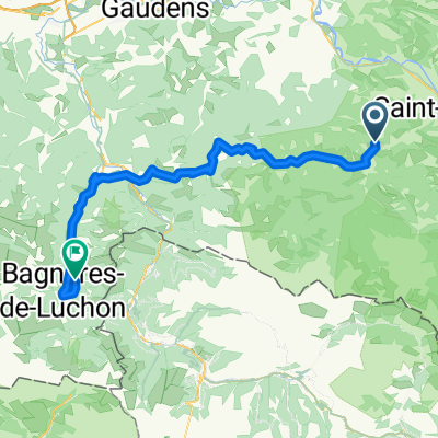
4.Etappe: Massad - Audedressin
Trasa rowerowa rozpoczynająca się w Saint-Girons, Occitanie, Francja.
Przegląd
O tej trasie
Massad (625m)
Col de Agnes (1580m)
Aulus les-Bains (724m)
Col de Latrape (1120m)
Guzet-Neige (1620m)
Seix (498m)
Col de la Core (1395m)
Castillon-en-Couserans (529m)
Audressein (510m)
- -:--
- Czas
- 98,1 km
- Dystans
- 2740 m
- Przewyższenia
- 2887 m
- Spadek
- ---
- Śr. Prędkość
- ---
- Maks. wysokość
Najważniejsze punkty trasy
Punkty zainteresowania na trasie
Interesujące miejsce po 17 km
Col de Agnes (1580m)
Interesujące miejsce po 32 km
Col de Latrape (1120m)
Interesujące miejsce po 41,6 km
Guzet-Neige (1620m)
Interesujące miejsce po 80,7 km
Col de la Core (1395m)
Kontynuuj z Bikemap
Użyj, edytuj lub pobierz tę trasę rowerową
Chcesz przejechać trasę 4.Etappe: Massad - Audedressin lub dostosować ją do swojej wycieczki? Oto, co możesz zrobić z tą trasą na Bikemap:
Darmowe funkcje
- Zapisz tę trasę jako ulubioną lub w kolekcji
- Skopiuj i zaplanuj swoją wersję tej trasy
- Podziel trasę na etapy, aby utworzyć kilkudniową wycieczkę
- Synchronizuj swoją trasę z Garminem lub Wahoo
Funkcje Premium
3 dni bezpłatnej wersji próbnej lub jednorazowa opłata. Dowiedz się więcej o Bikemap Premium.
- Nawiguj po tej trasie na iOS i Androidzie
- Eksportuj plik GPX / KML tej trasy
- Stwórz swój własny wydruk (wypróbuj za darmo)
- Pobierz tę trasę do nawigacji offline
Odkryj więcej funkcji Premium.
Uzyskaj Bikemap PremiumOd naszej społeczności
Saint-Girons: Inne popularne trasy rozpoczynające się tutaj
 E_Pyr_Massat-35
- Dystans
- 34,9 km
- Przewyższenia
- 1125 m
- Spadek
- 1128 m
- Lokalizacja
- Saint-Girons, Occitanie, Francja
 MTB Pyrenäenrundfahrt 2 Moulis-Bagneres de Luchons
- Dystans
- 75,4 km
- Przewyższenia
- 2268 m
- Spadek
- 2176 m
- Lokalizacja
- Saint-Girons, Occitanie, Francja
 Tour de France 2017 Stage 14
- Dystans
- 96,6 km
- Przewyższenia
- ---
- Spadek
- ---
- Lokalizacja
- Saint-Girons, Occitanie, Francja
 Port de l'Hers, Tarascon, Foix, col de Marrous/Portel, Biert
- Dystans
- 105,5 km
- Przewyższenia
- 1966 m
- Spadek
- 1966 m
- Lokalizacja
- Saint-Girons, Occitanie, Francja
 Itinéraire vers Ouerdes, Eycheil
- Dystans
- 29,3 km
- Przewyższenia
- 3110 m
- Spadek
- 3199 m
- Lokalizacja
- Saint-Girons, Occitanie, Francja
 Bethmale - Auzat
- Dystans
- 72,5 km
- Przewyższenia
- 2574 m
- Spadek
- 2613 m
- Lokalizacja
- Saint-Girons, Occitanie, Francja
 4.Etappe: Massad - Audedressin
- Dystans
- 98,1 km
- Przewyższenia
- 2740 m
- Spadek
- 2887 m
- Lokalizacja
- Saint-Girons, Occitanie, Francja
 Transpi-carretera-gr10-parte2
- Dystans
- 352,5 km
- Przewyższenia
- 5257 m
- Spadek
- 5748 m
- Lokalizacja
- Saint-Girons, Occitanie, Francja
Otwórz ją w aplikacji

