Albufeira Touring Tour
Trasa rowerowa rozpoczynająca się w Albufeira, Faro, Portugalia.
Przegląd
O tej trasie
EN:
Początek i koniec trasy: Albufeira (Avenida da Liberdade)
Poziom trudności: Średni
Czas potrzebny: Około 3h 45min przy średniej prędkości 12,5 km/h
Wysokość: Wzniesienie 478 m, 467 m zjazdu
Współrzędne GPS: 37.09033, -8.25419
Dystans: 44 km
Opis
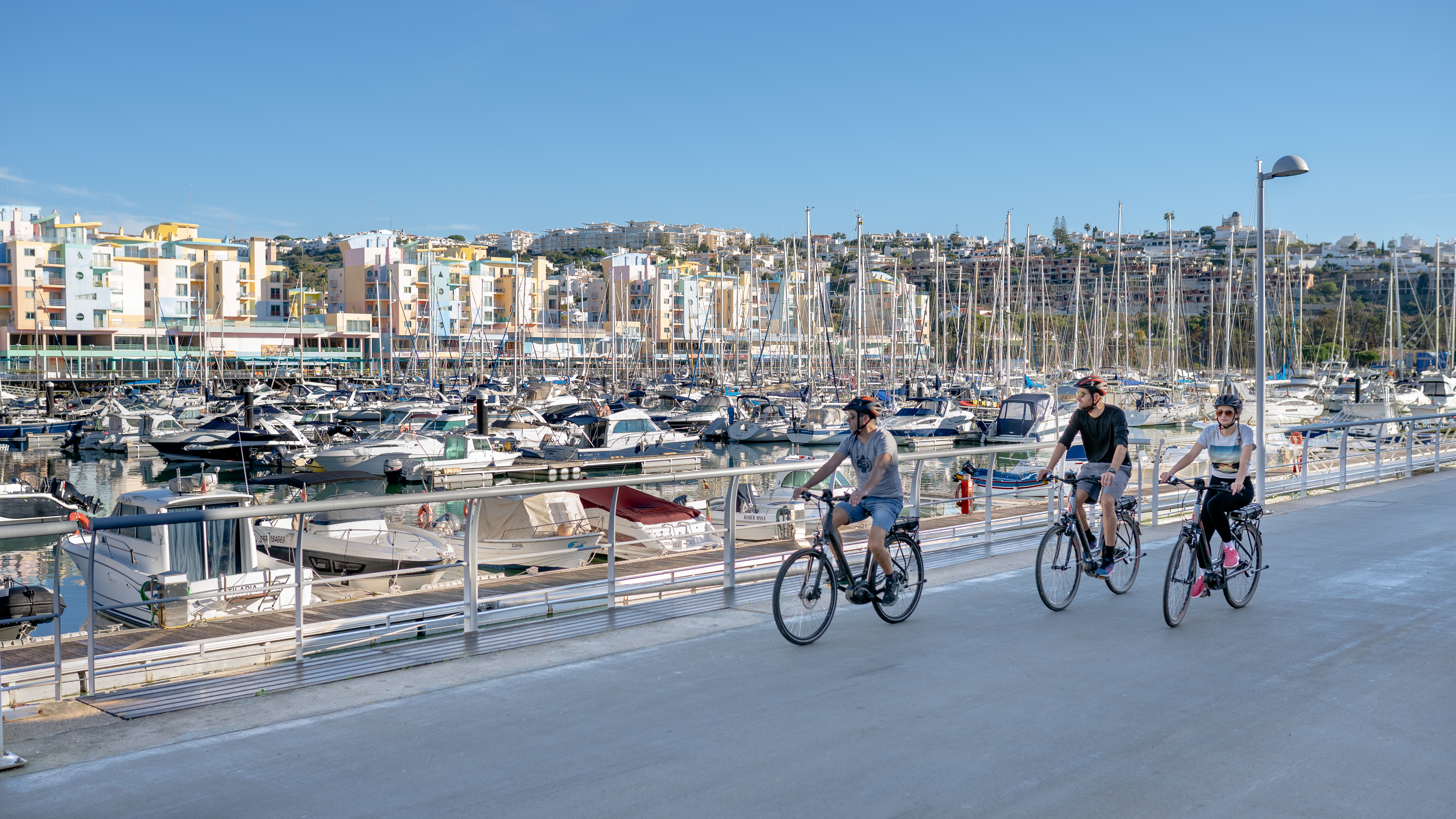
Albufeira to jedno z najpopularniejszych miejsc na słońce i plażę w Algarve, ale oferuje również szeroką gamę atrakcji naturalnych i architektonicznych zarówno w historycznym centrum miasta, jak i w obszarach wewnętrznych gminy. Wieś Paderne jest doskonałym przykładem jednego z miejsc, które warto odwiedzić. Ta trasa pozwala również odwiedzić parafię Guia, klify São Rafael oraz marinę w Albufeira.
- -:--
- Czas
- 44,9 km
- Dystans
- 470 m
- Przewyższenia
- 460 m
- Spadek
- ---
- Śr. Prędkość
- ---
- Maks. wysokość
Jakość trasy
Typy dróg i nawierzchnie na trasie
Typy dróg
Spokojna droga
23,3 km
(52 %)
Droga
7,6 km
(17 %)
Powierzchnie
Utwardzona
8,1 km
(18 %)
Nieutwardzona
8,1 km
(18 %)
Asfalt
5,4 km
(12 %)
Nieutwardzony (nieokreślony)
4 km
(9 %)
Najważniejsze punkty trasy
Punkty zainteresowania na trasie

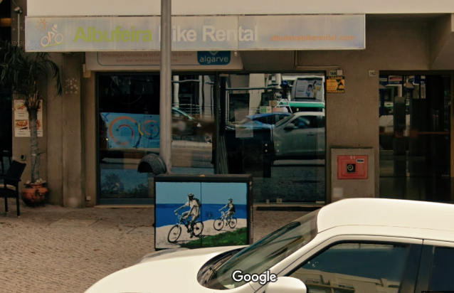
Serwis rowerowy po 0,2 km
Algarve Bike Holidays

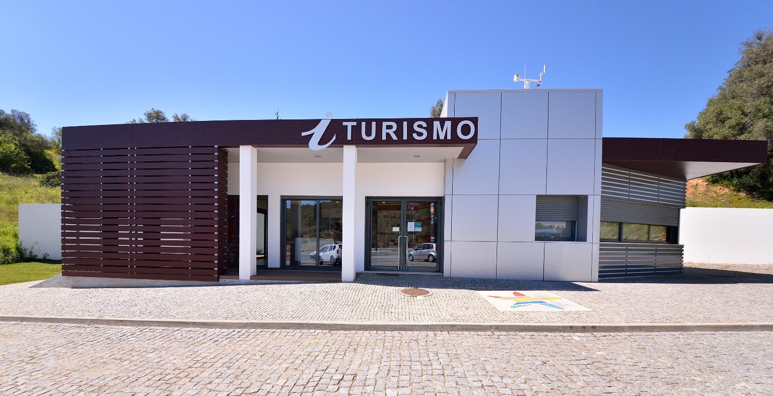
Interesujące miejsce po 0,8 km
Posto de Turismo de Albufeira
Interesujące miejsce po 5,6 km
Ferreiras

Interesujące miejsce po 7,1 km
Estação CP Ferreiras - Albufeira

Interesujące miejsce po 11,7 km
Ribeira de Algibre

Interesujące miejsce po 12,5 km
Fonte de Paderne

Interesujące miejsce po 12,7 km
Castelo de Paderne

Interesujące miejsce po 14,1 km
Paderne

Interesujące miejsce po 29 km
Guia

Interesujące miejsce po 31,2 km
Adega do Cantor Cliff Richard
Serwis rowerowy po 31,3 km
Bikesul

Interesujące miejsce po 40,2 km
Praia dos Arrifes

Interesujące miejsce po 40,2 km
Praia dos Arrifes

Interesujące miejsce po 42,1 km
Marina de Albufeira

Interesujące miejsce po 43,7 km
Miradouro Pau da Bandeira
Kontynuuj z Bikemap
Użyj, edytuj lub pobierz tę trasę rowerową
Chcesz przejechać trasę Albufeira Touring Tour lub dostosować ją do swojej wycieczki? Oto, co możesz zrobić z tą trasą na Bikemap:
Darmowe funkcje
- Zapisz tę trasę jako ulubioną lub w kolekcji
- Skopiuj i zaplanuj swoją wersję tej trasy
- Synchronizuj swoją trasę z Garminem lub Wahoo
Funkcje Premium
3 dni bezpłatnej wersji próbnej lub jednorazowa opłata. Dowiedz się więcej o Bikemap Premium.
- Nawiguj po tej trasie na iOS i Androidzie
- Eksportuj plik GPX / KML tej trasy
- Stwórz swój własny wydruk (wypróbuj za darmo)
- Pobierz tę trasę do nawigacji offline
Odkryj więcej funkcji Premium.
Uzyskaj Bikemap PremiumOd naszej społeczności
Albufeira: Inne popularne trasy rozpoczynające się tutaj
 ALBUFEIRA-ALBUFEIRA
- Dystans
- 152,3 km
- Przewyższenia
- 948 m
- Spadek
- 955 m
- Lokalizacja
- Albufeira, Faro, Portugalia
 Einfache Fahrt in Albufeira
- Dystans
- 14,1 km
- Przewyższenia
- 209 m
- Spadek
- 183 m
- Lokalizacja
- Albufeira, Faro, Portugalia
 1993 - Lissabon - Andalusien - 6. Tag - Albufeira - Lepe
- Dystans
- 131,7 km
- Przewyższenia
- 395 m
- Spadek
- 393 m
- Lokalizacja
- Albufeira, Faro, Portugalia
 Albufeira-Pera-Albufeira
- Dystans
- 35,5 km
- Przewyższenia
- 231 m
- Spadek
- 231 m
- Lokalizacja
- Albufeira, Faro, Portugalia
 2018/2 Albufeira to Sevilla
- Dystans
- 284,9 km
- Przewyższenia
- 518 m
- Spadek
- 506 m
- Lokalizacja
- Albufeira, Faro, Portugalia
 Bridge 8 Hub - Day 3
- Dystans
- 58 km
- Przewyższenia
- 375 m
- Spadek
- 396 m
- Lokalizacja
- Albufeira, Faro, Portugalia
 De Areias S. João (Arcadas), Albufeira a Areias S. João (Arcadas), Albufeira
- Dystans
- 23,3 km
- Przewyższenia
- 285 m
- Spadek
- 285 m
- Lokalizacja
- Albufeira, Faro, Portugalia
 Rota repousante em Albufeira
- Dystans
- 39,5 km
- Przewyższenia
- 1046 m
- Spadek
- 1046 m
- Lokalizacja
- Albufeira, Faro, Portugalia
Otwórz ją w aplikacji


