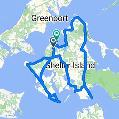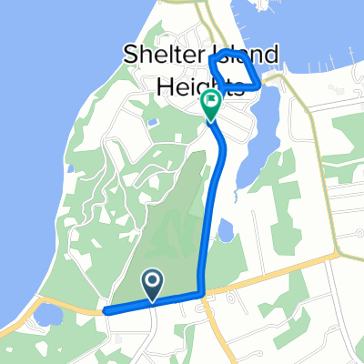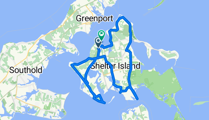

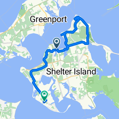
Relaxed route in Shelter Island Heights
- 16,8 km
- 151 m
- 151 m
- Shelter Island Heights, Nowy Jork, USA
Trasa rowerowa rozpoczynająca się w Shelter Island Heights, Nowy Jork, USA.
Przegląd
utworzono 5 lat temu temu
Jakość trasy
Droga
21,3 km
(65 %)
Spokojna droga
1,3 km
(4 %)
Utwardzona
0,7 km
(2 %)
Asfalt
0,7 km
(2 %)
Niezdefiniowany
32 km
(98 %)
Kontynuuj z Bikemap
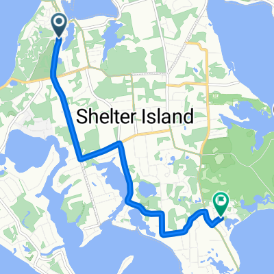
Chcesz przejechać trasę New York Ave, Shelter Island Heights to 14 Chequit Ave, Shelter Island Heights lub dostosować ją do swojej wycieczki? Oto, co możesz zrobić z tą trasą na Bikemap:
3 dni bezpłatnej wersji próbnej lub jednorazowa opłata. Dowiedz się więcej o Bikemap Premium.
Odkryj więcej funkcji Premium.
Uzyskaj Bikemap PremiumOd naszej społeczności
Otwórz ją w aplikacji