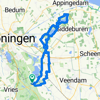
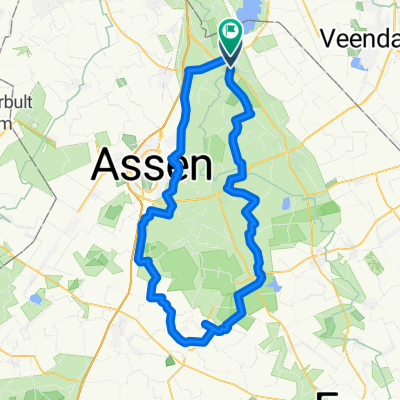
5 Hügelgräber-Rundweg
- 36,8 km
- 90 m
- 89 m
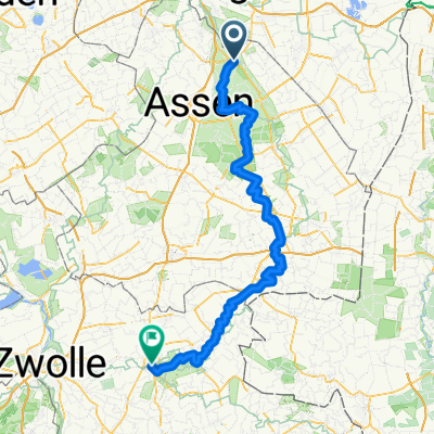
- Zuidlaren, Drenthe, Holandia
Trasa rowerowa rozpoczynająca się w Zuidlaren, Drenthe, Holandia.
Przegląd
Are you not such a hiking enthusiast, but would you still like to see what is so special about the Pieterpad? Then follow the Fietserspad and admire all the beautiful places where the Pieterpad also passes. This route consists of stages 4 to 6 of the Pieterpad.
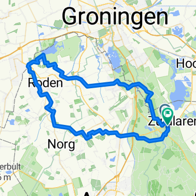
National Landscape Drentsche Aa The starting point of this cycle route is in picturesque Zuidlaren. A little further you will pass B&B Schipborg and Hunebed D02. Then you cycle through the National Landscape Drentsche Aa. Here you will experience the Drenthe of the past with Saxon farms around the green, fields on the round ash trees and hay meadows in the lower stream valley. You will also pass the Balloërveld, an extensive heathland with burial mounds and a real sheepfold.
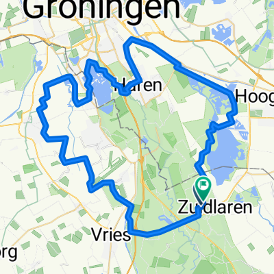
Drenthe silence At Rolder 's Patathoes you can take a break to recharge your batteries. Afterwards you will get to know Boswachterij Gieten-Borger. You will find here a mix of deciduous and coniferous trees and grasslands. At the edge of the forest you pass Bistro aan het Bos, time for something tasty. You drive many kilometers through the adjacent forests of Schoonloo and Sleenerzand. What a silence! In Sleen you can see the fifteenth-century Reformed Church. The route ends at Bed & Breakfast 1874.
utworzono 4 lata temu temu
Jakość trasy
Droga rowerowa
44,3 km
(68 %)
Spokojna droga
11,7 km
(18 %)
Utwardzona
44,3 km
(68 %)
Nieutwardzona
7,8 km
(12 %)
Asfalt
39,8 km
(61 %)
Beton
4,6 km
(7 %)
Kontynuuj z Bikemap
Chcesz przejechać trasę Stage 2 Cyclists' path - Pieterpad for Cyclists lub dostosować ją do swojej wycieczki? Oto, co możesz zrobić z tą trasą na Bikemap:
3 dni bezpłatnej wersji próbnej lub jednorazowa opłata. Dowiedz się więcej o Bikemap Premium.
Odkryj więcej funkcji Premium.
Uzyskaj Bikemap PremiumOd naszej społeczności
Otwórz ją w aplikacji