PN1
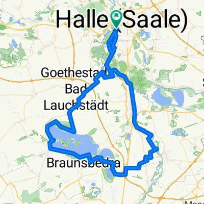
Trasa rowerowa rozpoczynająca się w Halle-Neustadt, Saksonia-Anhalt, Niemcy.
Przegląd
O tej trasie
- -:--
- Czas
- 153,1 km
- Dystans
- 648 m
- Przewyższenia
- 661 m
- Spadek
- ---
- Śr. Prędkość
- ---
- Maks. wysokość
Jakość trasy
Typy dróg i nawierzchnie na trasie
Typy dróg
Droga
55,1 km
(36 %)
Spokojna droga
39,8 km
(26 %)
Powierzchnie
Utwardzona
101 km
(66 %)
Nieutwardzona
9,2 km
(6 %)
Asfalt
101 km
(66 %)
Żwir
4,6 km
(3 %)
Najważniejsze punkty trasy
Punkty zainteresowania na trasie
Interesujące miejsce po 70,4 km
Links abbiegen
Interesujące miejsce po 70,9 km
aus dem Ort kommend leicht ansteigend, an der Hauptstraße links und gerade aus dem Ort raus
Interesujące miejsce po 71,1 km
Interesujące miejsce po 71,4 km
an letzter Kreuzung scharf links einbiegen
Interesujące miejsce po 87,5 km
an der Kreuzung links und gerade aus dem Ort raus Richtung Wettin
Interesujące miejsce po 92,4 km
Selbstversorgung: Netto Wettin
Interesujące miejsce po 107,7 km
1. Runde: gerade aus Richtung Wallwitz
Interesujące miejsce po 108,8 km
1.+2. Runde: vor der Schranke links, parallel zur Gleisanlage
Interesujące miejsce po 113,1 km
1. Runde: links nach Sylbitz 2. Runde: rechts über die Schranke
Interesujące miejsce po 125,7 km
1. Runde: links Richtung Ostrau
Interesujące miejsce po 127 km
2. Runde: Silokreuzung, rechts
Interesujące miejsce po 131,4 km
1. Runde: gerade aus Richtung Petersberg
Interesujące miejsce po 134,5 km
2. Runde: rechts Richtung Ostrau, bis Silokreuzung, dort Rechts
Interesujące miejsce po 137 km
2. Runde: über die Kreuzung gerade Richtung Kütten
Kontynuuj z Bikemap
Użyj, edytuj lub pobierz tę trasę rowerową
Chcesz przejechać trasę PN1 lub dostosować ją do swojej wycieczki? Oto, co możesz zrobić z tą trasą na Bikemap:
Darmowe funkcje
- Zapisz tę trasę jako ulubioną lub w kolekcji
- Skopiuj i zaplanuj swoją wersję tej trasy
- Podziel trasę na etapy, aby utworzyć kilkudniową wycieczkę
- Synchronizuj swoją trasę z Garminem lub Wahoo
Funkcje Premium
3 dni bezpłatnej wersji próbnej lub jednorazowa opłata. Dowiedz się więcej o Bikemap Premium.
- Nawiguj po tej trasie na iOS i Androidzie
- Eksportuj plik GPX / KML tej trasy
- Stwórz swój własny wydruk (wypróbuj za darmo)
- Pobierz tę trasę do nawigacji offline
Odkryj więcej funkcji Premium.
Uzyskaj Bikemap PremiumOd naszej społeczności
Halle-Neustadt: Inne popularne trasy rozpoczynające się tutaj
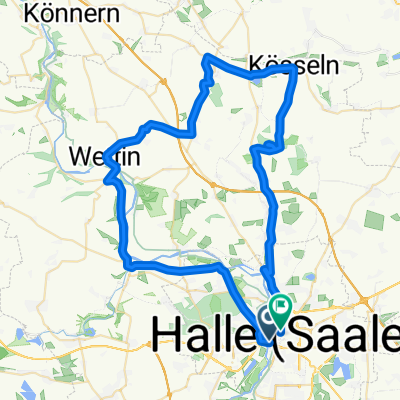
 Könnernrunde
- Dystans
- 79,5 km
- Przewyższenia
- 436 m
- Spadek
- 431 m
- Lokalizacja
- Halle-Neustadt, Saksonia-Anhalt, Niemcy
 Radjunior Saaleauen-Trail-Tour
- Dystans
- 23 km
- Przewyższenia
- 19 m
- Spadek
- 17 m
- Lokalizacja
- Halle-Neustadt, Saksonia-Anhalt, Niemcy
 Radjunior Kleine (Bagger-)Seenrunde rund um Ha-Neu
- Dystans
- 18,6 km
- Przewyższenia
- 55 m
- Spadek
- 56 m
- Lokalizacja
- Halle-Neustadt, Saksonia-Anhalt, Niemcy
 2017-06-11
- Dystans
- 87,8 km
- Przewyższenia
- 251 m
- Spadek
- 253 m
- Lokalizacja
- Halle-Neustadt, Saksonia-Anhalt, Niemcy
 MZ Radpartie 2010, 100kmTour
- Dystans
- 109,4 km
- Przewyższenia
- 461 m
- Spadek
- 461 m
- Lokalizacja
- Halle-Neustadt, Saksonia-Anhalt, Niemcy
 Halle - Berlin 2,5 Tage
- Dystans
- 329,5 km
- Przewyższenia
- 106 m
- Spadek
- 150 m
- Lokalizacja
- Halle-Neustadt, Saksonia-Anhalt, Niemcy
 Halle - Saaletal - Wettin - Nauendorf - Petersberg - Halle
- Dystans
- 62,5 km
- Przewyższenia
- 339 m
- Spadek
- 328 m
- Lokalizacja
- Halle-Neustadt, Saksonia-Anhalt, Niemcy
 Fienstedterrunde
- Dystans
- 56,1 km
- Przewyższenia
- 313 m
- Spadek
- 309 m
- Lokalizacja
- Halle-Neustadt, Saksonia-Anhalt, Niemcy
Otwórz ją w aplikacji

