
Cycling in Canada
Discover a map of 128,360 cycling routes and bike trails in Canada, created by our community.
Region portrait
Get to know Canada
Create and find the best bike routes through Canada, the world’s second largest country, thanks to the bike route planner. The country isn’t stingy with scenic highlights. Mountains reaching to the sky, glimmering glaciers, spectral rain forests and remote beaches extend over six different time zones. In Canada, train tracks become paths, some of the formerly most important supply routes through Canada was decommissioned and converted into natural paths like the famous Canada Trail. Canada’s remote North and huge forests are the home of numerous wild animals such as bears, wolves, beavers and mountain lions. To protect this diversity, there are more than 40 national parks in Canada that can also be explored by bike, however, visitors should keep to the marked paths!
6,020,416 km
Tracked distance
128,360
Cycle routes
33.7 million
Population
Community
Most active users in Canada


Handpicked routes
Discover Canada through these collections
From our community
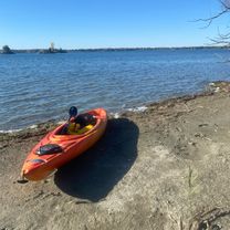
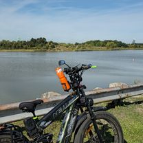
The best bike routes in Canada


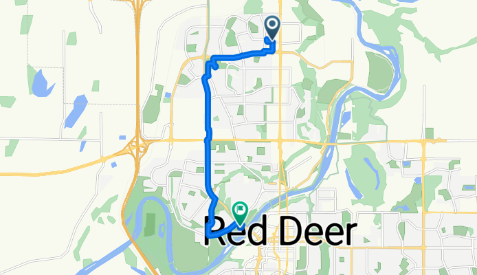
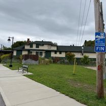
Kentwood Dr, Red Deer à Bowerponds Recreation Area, Red Deer
Cycling route in Red Deer, Alberta, Canada
- 8 km
- Distance
- 22 m
- Ascent
- 45 m
- Descent


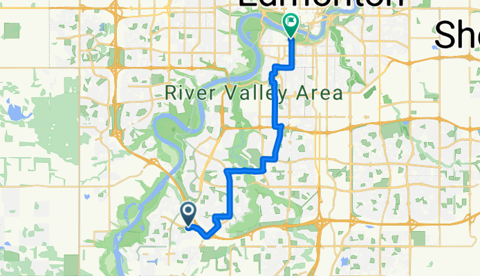
Windermere Blvd SW, Edmonton to 90 Ave NW, Edmonton
Cycling route in Devon, Alberta, Canada
- 18.4 km
- Distance
- 102 m
- Ascent
- 114 m
- Descent


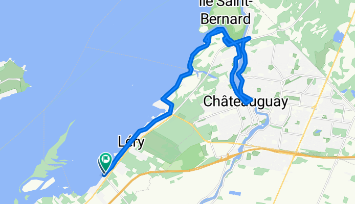
Grand tour Léry- Châteauguay
Cycling route in Beauharnois, Quebec, Canada
- 24.8 km
- Distance
- 66 m
- Ascent
- 65 m
- Descent


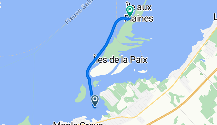
Rive-Sud de Montréal, Beauharnois à Rive-Sud de Montréal, Léry
Cycling route in Beauharnois, Quebec, Canada
- 3.9 km
- Distance
- 204 m
- Ascent
- 212 m
- Descent
Discover more routes
 Rive-Sud de Montréal, Léry à Beauharnois
- Distance
- 0.7 km
- Ascent
- 4 m
- Descent
- 0 m
- Location
- Beauharnois, Quebec, Canada
 Lake Shore Boulevard West to Indian Line
- Distance
- 34.3 km
- Ascent
- 221 m
- Descent
- 93 m
- Location
- Etobicoke, Ontario, Canada
 Dundas Station to Midland Avenue
- Distance
- 28.4 km
- Ascent
- 249 m
- Descent
- 141 m
- Location
- Toronto, Ontario, Canada
 250906 Val Barrette to Nominingue
- Distance
- 40.5 km
- Ascent
- 138 m
- Descent
- 130 m
- Location
- Mont-Laurier, Quebec, Canada
 250906 Mont Laurier to Val Barrette
- Distance
- 15 km
- Ascent
- 49 m
- Descent
- 30 m
- Location
- Mont-Laurier, Quebec, Canada
 1er Avenue, St-Honoré à Rue du Parc, St-Honoré
- Distance
- 14.7 km
- Ascent
- 84 m
- Descent
- 88 m
- Location
- Saguenay, Quebec, Canada
 Rue de Stanstead to Rue de Stanstead
- Distance
- 69.3 km
- Ascent
- 428 m
- Descent
- 397 m
- Location
- Bromont, Quebec, Canada
 250907 Nominingue to Saint Jovite
- Distance
- 63.5 km
- Ascent
- 205 m
- Descent
- 241 m
- Location
- Rivière-Rouge, Quebec, Canada
Highlights
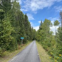
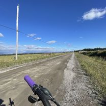
- The about 22.000-kilometre-long Canada Trail is suitable for adventurous cyclists. big parts of it run along gravelled former train tracks and are thus ideal for biking.
- The Banff National Park is situated at the base of the Rocky Mountains and hosts many natural treasures like turquoise mountain lakes, untouched nature and flower-filled pastures. A true paradise for mountain bike fans.
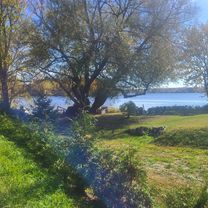
- Cycle along the Route Verte. It’s an about 4.000-kilometre-long network of cycling paths crossing Quebec. Parts of it run through the province’s big cities, others cross through villages and along pretty country roads that allow beautiful views on the river parallely to the Saint Lawrence River.
Tips
- Due to cold and snowy winters, the travel time for visitors is limited to June - September.
- Cyclists under the age of 18 have to wear a helmet in Canada.
- Always remember that temperatures range from hot +40 degrees celsius to freezing -40 degrees celsius. Packing appropriate clothes is imperative.
See where people are biking in Canada
Popular cycling regions in Canada

