Für deine Fahrt
Entdecke die besten Rundstrecken weltweit
Diese Rundrouten sind ideal zum Trainieren, Touren oder Entdecken – von aussichtsreichen Runden bis zu epischen Ganztagestouren.
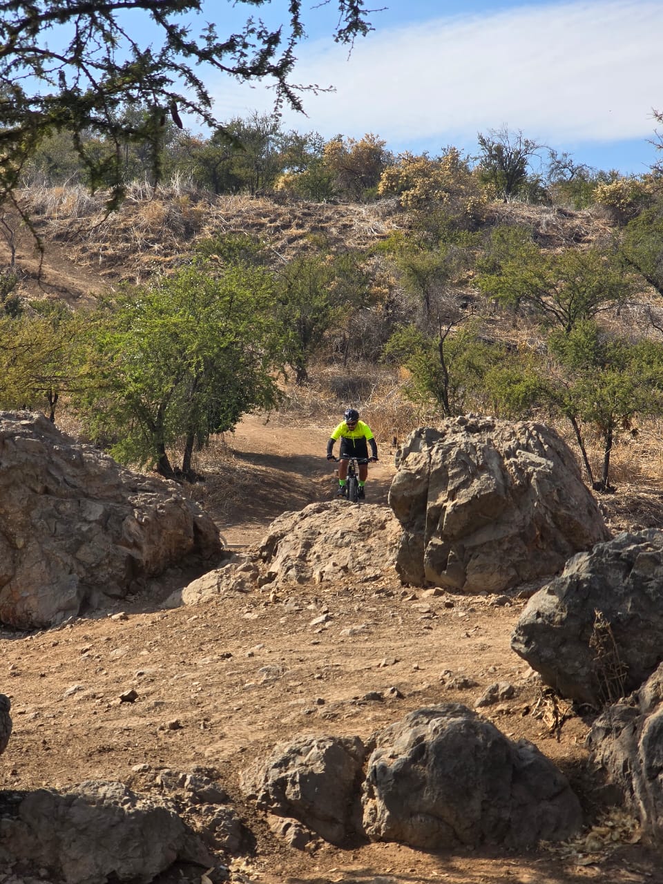
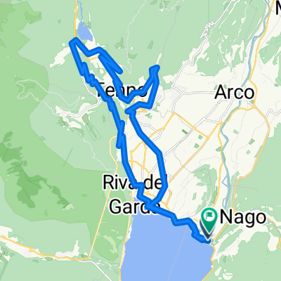 Lago di Tenno_def
- Distanz
- 34 km
- Aufstieg
- 970 m
- Abstieg
- 970 m
- Standort
- Torbole, Trentino-Südtirol, Italien
 Kloster Zinneberg über HöSi, Glonn und Steinsee, Harthausen zurück
- Distanz
- 47,8 km
- Aufstieg
- 623 m
- Abstieg
- 621 m
- Standort
- Putzbrunn, Bayern, Deutschland
 Donmills Return Via Don Mills Taylor Creek Scarborough Waterfront
- Distanz
- 54 km
- Aufstieg
- 404 m
- Abstieg
- 404 m
- Standort
- Willowdale, Ontario, Kanada
 Lindsborg to Maxwell Wildlife Refuge
- Distanz
- 70,8 km
- Aufstieg
- 298 m
- Abstieg
- 300 m
- Standort
- Lindsborg, Kansas, Vereinigte Staaten
 morning ride Torrance
- Distanz
- 19 km
- Aufstieg
- 82 m
- Abstieg
- 83 m
- Standort
- Palos Verdes Estates, Kalifornien, Vereinigte Staaten
 Whitehorse Trail, Trafton to Darrington, return
- Distanz
- 78 km
- Aufstieg
- 242 m
- Abstieg
- 216 m
- Standort
- Arlington Heights, Washington, Vereinigte Staaten
 Rua José Aureliano Dias, Barbacena a Rua José Aureliano Dias, Barbacena
- Distanz
- 17,9 km
- Aufstieg
- 484 m
- Abstieg
- 482 m
- Standort
- Barbacena, Minas Gerais, Brasilien
 Paseo fácil
- Distanz
- 39,5 km
- Aufstieg
- 504 m
- Abstieg
- 516 m
- Standort
- Santiago de Chile, Santiago Metropolitan, Chile
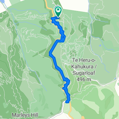 Moderate route
- Distanz
- 7,7 km
- Aufstieg
- 220 m
- Abstieg
- 189 m
- Standort
- Christchurch, Canterbury Region, Neuseeland
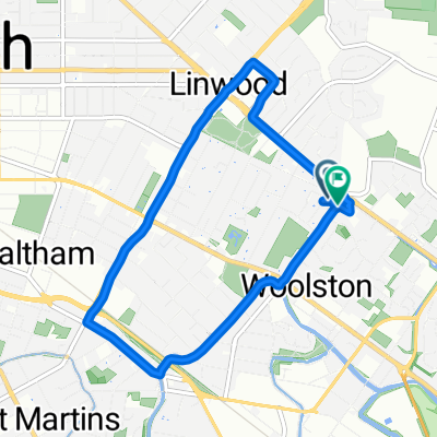 Linwood Avenue to Linwood Avenue
- Distanz
- 7,8 km
- Aufstieg
- 142 m
- Abstieg
- 163 m
- Standort
- Christchurch, Canterbury Region, Neuseeland
 Federation Square to Valley Lake Loop
- Distanz
- 40,4 km
- Aufstieg
- 95 m
- Abstieg
- 100 m
- Standort
- Southbank, Victoria, Australien
 Route to 1 Maryibyrnong River to Strathmore and back 39.6kms Street, Footscray, VIC, 3011
- Distanz
- 82,5 km
- Aufstieg
- 712 m
- Abstieg
- 714 m
- Standort
- Footscray, Victoria, Australien
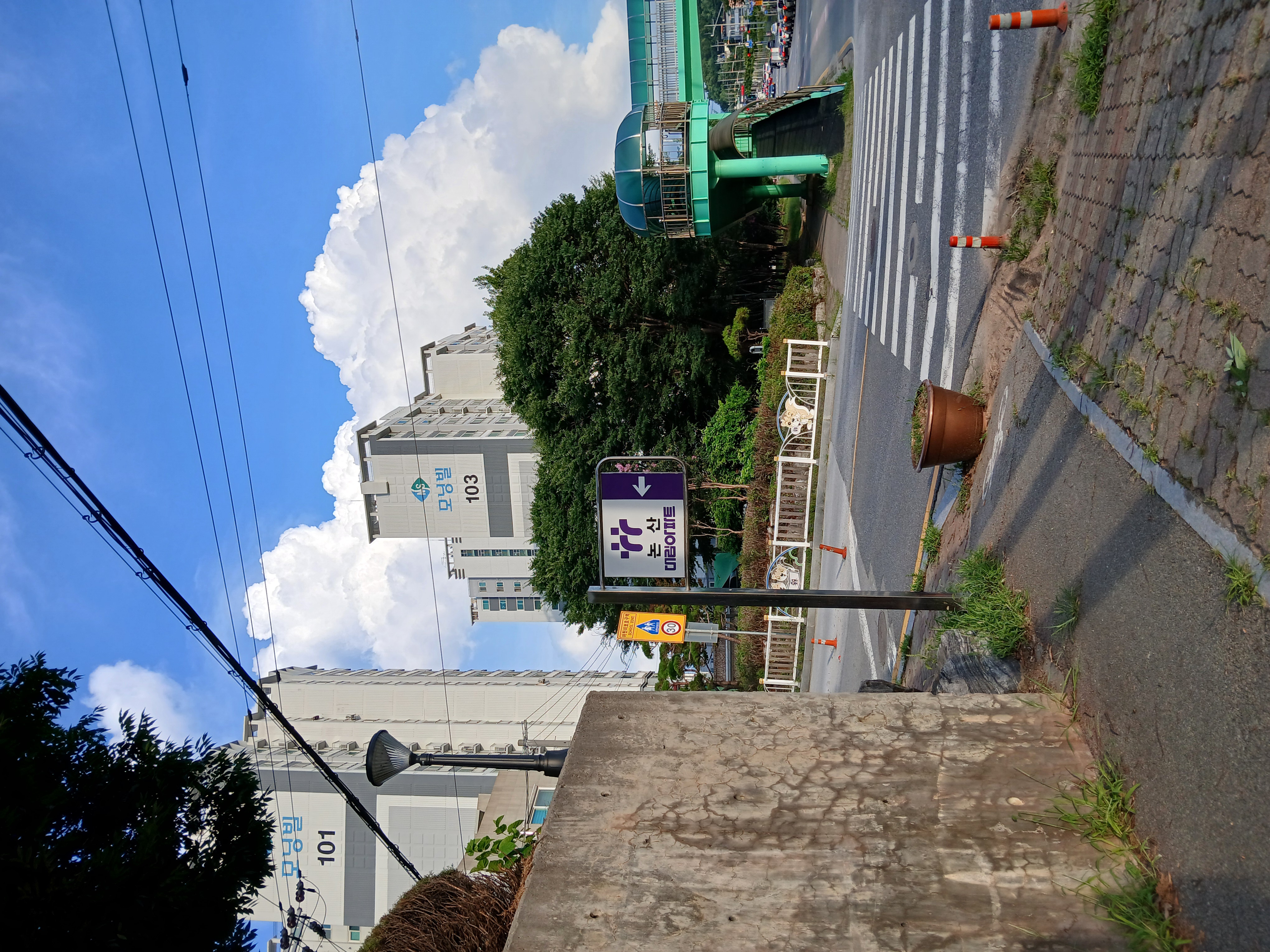
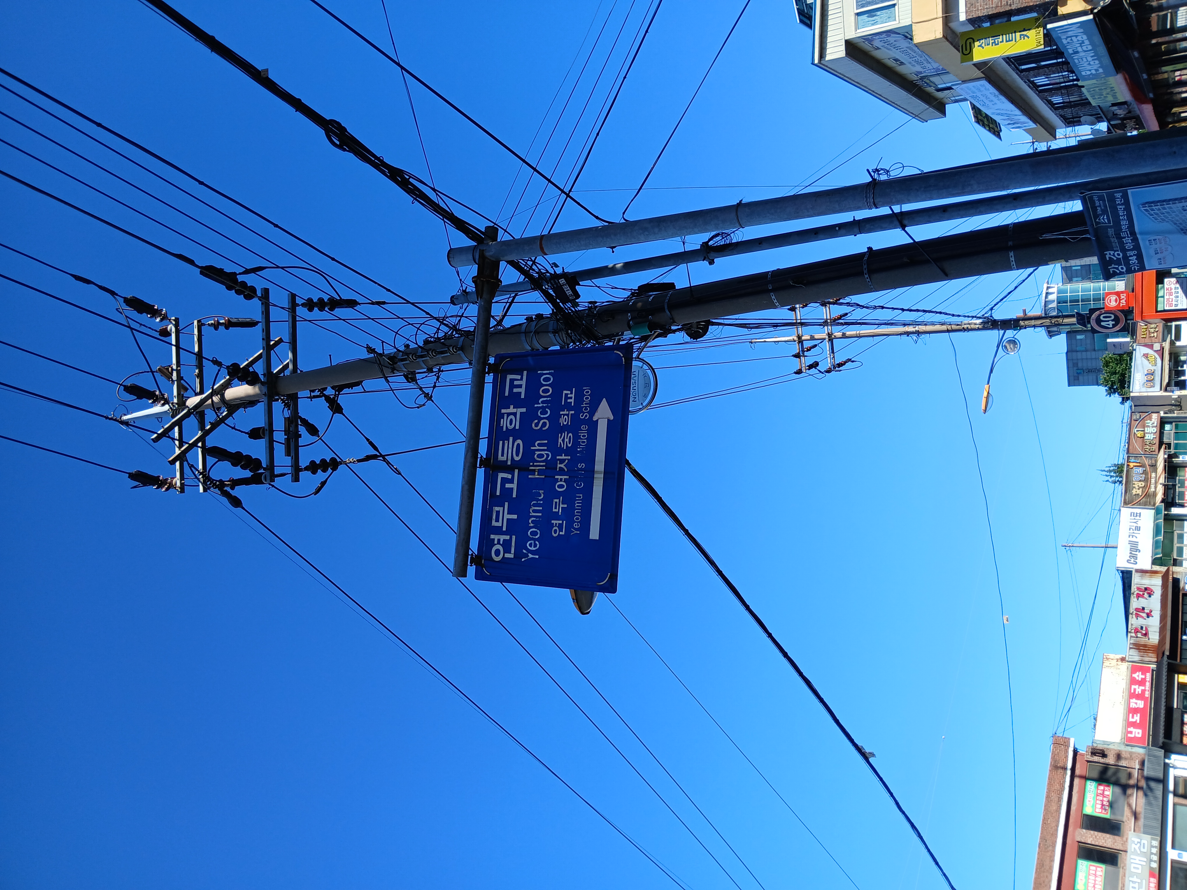 취암동 516-2 ~ 취암동 516-31
- Distanz
- 44,3 km
- Aufstieg
- 406 m
- Abstieg
- 432 m
- Standort
- Nonsan, Chungcheongnam-do, Republik Korea
 취암동 509-2 ~ 취암동 516-31
- Distanz
- 6,7 km
- Aufstieg
- 75 m
- Abstieg
- 93 m
- Standort
- Nonsan, Chungcheongnam-do, Republik Korea
 Tallo kesala Road to Tallo kesala Road
- Distanz
- 22,2 km
- Aufstieg
- 35 m
- Abstieg
- 38 m
- Standort
- Īṭahari̇̄, Purwanchal, Nepal
 Steady ride
- Distanz
- 4,2 km
- Aufstieg
- 45 m
- Abstieg
- 38 m
 Aurora Avenue, Vereeniging to Aurora Avenue, Vereeniging
- Distanz
- 23,8 km
- Aufstieg
- 99 m
- Abstieg
- 98 m
- Standort
- Vanderbijlpark, Gauteng, Republik Südafrika
 Aurora Avenue, Vereeniging to Aurora Avenue, Vereeniging
- Distanz
- 15,3 km
- Aufstieg
- 130 m
- Abstieg
- 128 m
- Standort
- Vanderbijlpark, Gauteng, Republik Südafrika
 WT Leisure ride to Daisy Chain cafe, Pitstone
- Distanz
- 38,3 km
- Aufstieg
- 129 m
- Abstieg
- 179 m
- Standort
- Weston Turville, England, Vereinigtes Königreich
 Route to 1 West Hill Road South, South Wonston, Winchester, SO21 3HP
- Distanz
- 22,6 km
- Aufstieg
- 173 m
- Abstieg
- 173 m
- Standort
- Kings Worthy, England, Vereinigtes Königreich