
Bangar mit dem Fahrrad
Entdecke eine Karte mit 16 Radrouten und Radwegen rund um Bangar, erstellt von unserer Community.
Regionenporträt
Lerne Bangar kennen
Finde die richtige Fahrradroute in Bangar, wo wir 16 Fahrradrouten für dich zum Erkunden haben.
264 km
Aufgezeichnete Strecken
16
Fahrradrouten
3.970
Einwohner
Community
Die aktivsten Nutzer in Bangar


Von unserer Community
Die besten Fahrradrouten in und um Bangar

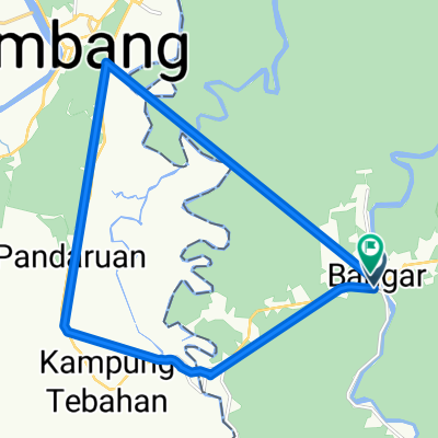
Bangar Puni Bukok Rataie Loop
Fahrradtour in Bangar, Temburong, Brunei Darussalam
- 27,4 km
- Distanz
- 303 m
- Aufstieg
- 301 m
- Abstieg

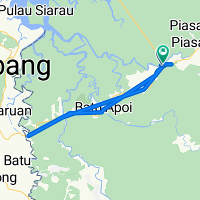
Bangar back river cruise
Fahrradtour in Bangar, Temburong, Brunei Darussalam
- 29,1 km
- Distanz
- 69 m
- Aufstieg
- 72 m
- Abstieg

Bangar, bike and Bukit Patoi
Fahrradtour in Bangar, Temburong, Brunei Darussalam
- 16,1 km
- Distanz
- 388 m
- Aufstieg
- 109 m
- Abstieg

Bukit Patoi extension walk
Fahrradtour in Bangar, Temburong, Brunei Darussalam
- 1,1 km
- Distanz
- 88 m
- Aufstieg
- 28 m
- Abstieg
Mehr Routen entdecken
 Labu logging track
- Distanz
- 13,9 km
- Aufstieg
- 455 m
- Abstieg
- 452 m
- Standort
- Bangar, Temburong, Brunei Darussalam
 Temada-Sibut track
- Distanz
- 6,8 km
- Aufstieg
- 108 m
- Abstieg
- 117 m
- Standort
- Bangar, Temburong, Brunei Darussalam
 Temburong Practice Run
- Distanz
- 13 km
- Aufstieg
- 102 m
- Abstieg
- 86 m
- Standort
- Bangar, Temburong, Brunei Darussalam
 Temburong border to border
- Distanz
- 26,9 km
- Aufstieg
- 292 m
- Abstieg
- 271 m
- Standort
- Bangar, Temburong, Brunei Darussalam
 Brunei, Bangar to Brunei, Bangar
- Distanz
- 2 km
- Aufstieg
- 12 m
- Abstieg
- 12 m
- Standort
- Bangar, Temburong, Brunei Darussalam
 Afternoon Ride
- Distanz
- 15 km
- Aufstieg
- 157 m
- Abstieg
- 133 m
- Standort
- Bangar, Temburong, Brunei Darussalam
 Restful route
- Distanz
- 40,4 km
- Aufstieg
- 31 m
- Abstieg
- 84 m
- Standort
- Bangar, Temburong, Brunei Darussalam
 Blistering ride
- Distanz
- 22,3 km
- Aufstieg
- 49 m
- Abstieg
- 39 m
- Standort
- Bangar, Temburong, Brunei Darussalam