Glenfield mit dem Fahrrad
Entdecke eine Karte mit 45 Radrouten und Radwegen rund um Glenfield, erstellt von unserer Community.
Regionenporträt
Lerne Glenfield kennen
Finde die richtige Fahrradroute in Glenfield, wo wir 45 Fahrradrouten für dich zum Erkunden haben.
869 km
Aufgezeichnete Strecken
45
Fahrradrouten
6.758
Einwohner
Community
Die aktivsten Nutzer in Glenfield
Von unserer Community
Die besten Fahrradrouten in und um Glenfield

Glenfield - Stanhope Gardens
Fahrradtour in Glenfield, New South Wales, Australien
- 45,6 km
- Distanz
- 437 m
- Aufstieg
- 378 m
- Abstieg

Parx Loop
Fahrradtour in Glenfield, New South Wales, Australien
- 41,7 km
- Distanz
- 209 m
- Aufstieg
- 226 m
- Abstieg

Glenfield Station to Liverpool Hospital
Fahrradtour in Glenfield, New South Wales, Australien
- 7,5 km
- Distanz
- 62 m
- Aufstieg
- 92 m
- Abstieg


top ride
Fahrradtour in Glenfield, New South Wales, Australien
- 61,7 km
- Distanz
- 208 m
- Aufstieg
- 258 m
- Abstieg
Mehr Routen entdecken
- Alle Routen in Glenfield
- Rundwege
- Entspannt
- Gravel
- Rennrad
- MTB
- Trekking
- 7 Melaleuca Place, Prestons to 1B Gascogne Street, Prestons1
- 39,3 km
- 3 m
- 22 m
- Glenfield, New South Wales, Australien
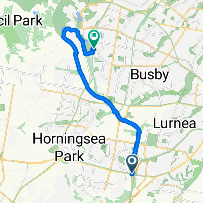
- M5 Motorway, Prestons to 23 Whitsunday Circuit, Green Valley1
- 11,9 km
- 76 m
- 71 m
- Glenfield, New South Wales, Australien
- Mahogany Place 3, Macquarie Fields to Keesing Crescent 23A, Blackett0
- 36 km
- 297 m
- 277 m
- Glenfield, New South Wales, Australien
- Camden Valley Way, Prestons to 27A Whitsunday Circuit, Green Valley0
- 11,4 km
- 50 m
- 51 m
- Glenfield, New South Wales, Australien
- Ash Road 237, Prestons to Ash Road 237, Prestons0
- 40,8 km
- 301 m
- 299 m
- Glenfield, New South Wales, Australien