Ballarat Rd, Footscray to Ferguson St, Williamstown
- 10,5 km
- 62 m
- 66 m
- Footscray, Victoria, Australien

Entdecke eine Karte mit 296 Radrouten und Radwegen rund um Footscray, erstellt von unserer Community.
Regionenporträt
Finde die richtige Fahrradroute in Footscray, wo wir 296 Fahrradrouten für dich zum Erkunden haben. Die meisten Leute fahren hier in den Monaten April und Dezember Fahrrad.
4.610 km
Aufgezeichnete Strecken
296
Fahrradrouten
13.203
Einwohner
Community
Von unserer Community
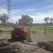
Fahrradtour in Footscray, Victoria, Australien
Fahrradtour in Footscray, Victoria, Australien
Fahrradtour in Footscray, Victoria, Australien
Fahrradtour in Footscray, Victoria, Australien