


Past Dumaresq
- 19 km
- 271 m
- 145 m
- Armidale, New South Wales, Australien

Entdecke eine Karte mit 148 Radrouten und Radwegen rund um Armidale, erstellt von unserer Community.
Regionenporträt
Finde die richtige Fahrradroute in Armidale, wo wir 148 Fahrradrouten für dich zum Erkunden haben. Die meisten Leute fahren hier in den Monaten März und April Fahrrad.
10.474 km
Aufgezeichnete Strecken
148
Fahrradrouten
22.673
Einwohner
Community
Handverlesene Routen
Von unserer Community
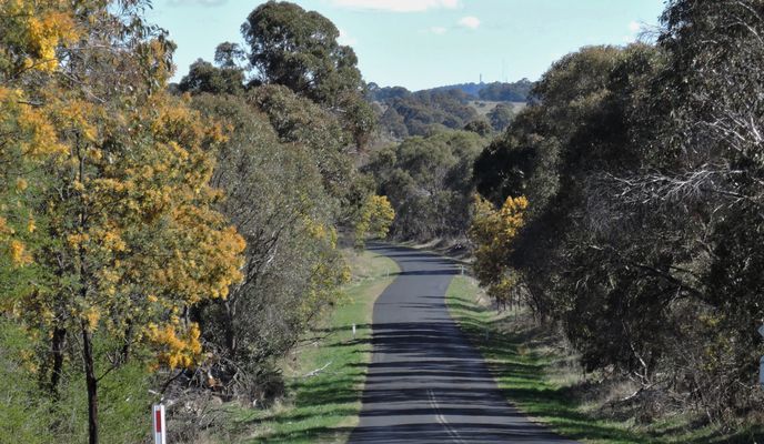
Fahrradtour in Armidale, New South Wales, Australien


Fahrradtour in Armidale, New South Wales, Australien


Fahrradtour in Armidale, New South Wales, Australien
Fahrradtour in Armidale, New South Wales, Australien


