Wattendorf mit dem Fahrrad
Entdecke eine Karte mit 34 Radrouten und Radwegen rund um Wattendorf, erstellt von unserer Community.
Regionenporträt
Lerne Wattendorf kennen
Finde die richtige Fahrradroute in Wattendorf, wo wir 34 Fahrradrouten für dich zum Erkunden haben.
1.003 km
Aufgezeichnete Strecken
34
Fahrradrouten
694
Einwohner
Community
Die aktivsten Nutzer in Wattendorf
Von unserer Community
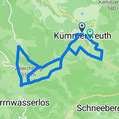
Die besten Fahrradrouten in und um Wattendorf
Wattendorf
Fahrradtour in Wattendorf, Bayern, Bundesrepublik Deutschland
- 13 km
- Distanz
- 211 m
- Aufstieg
- 214 m
- Abstieg
Brotzeit machen in Schederndorf
Fahrradtour in Wattendorf, Bayern, Bundesrepublik Deutschland
- 17,8 km
- Distanz
- 202 m
- Aufstieg
- 196 m
- Abstieg
Oberküps-Ebensfeld-Reundorf-Oberküps
Fahrradtour in Wattendorf, Bayern, Bundesrepublik Deutschland
- 38,9 km
- Distanz
- 168 m
- Aufstieg
- 173 m
- Abstieg
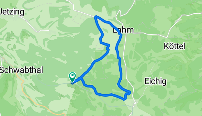
Lahme(r) Runde bei Wattendorf Rothmannsthal
Fahrradtour in Wattendorf, Bayern, Bundesrepublik Deutschland
- 11,6 km
- Distanz
- 209 m
- Aufstieg
- 208 m
- Abstieg
Mehr Routen entdecken
 Rundwanderung Roßdach-Kemitzenstein-Wattendorf
- Distanz
- 15,4 km
- Aufstieg
- 285 m
- Abstieg
- 291 m
- Standort
- Wattendorf, Bayern, Bundesrepublik Deutschland
 Route im Schneckentempo in Bad Staffelstein
- Distanz
- 11,2 km
- Aufstieg
- 193 m
- Abstieg
- 142 m
- Standort
- Wattendorf, Bayern, Bundesrepublik Deutschland
 2020-11-15 Wandern
- Distanz
- 12,6 km
- Aufstieg
- 294 m
- Abstieg
- 294 m
- Standort
- Wattendorf, Bayern, Bundesrepublik Deutschland
 Kur FRM Kur
- Distanz
- 103,7 km
- Aufstieg
- 802 m
- Abstieg
- 701 m
- Standort
- Wattendorf, Bayern, Bundesrepublik Deutschland
 Mühlengrund 10, Bad Staffelstein nach Mühlengrund 10, Bad Staffelstein
- Distanz
- 91,4 km
- Aufstieg
- 457 m
- Abstieg
- 455 m
- Standort
- Wattendorf, Bayern, Bundesrepublik Deutschland
 HT 2017-2 Rund um Bamberg
- Distanz
- 66,2 km
- Aufstieg
- 296 m
- Abstieg
- 345 m
- Standort
- Wattendorf, Bayern, Bundesrepublik Deutschland
 test
test- Distanz
- 202,8 km
- Aufstieg
- 1.206 m
- Abstieg
- 1.264 m
- Standort
- Wattendorf, Bayern, Bundesrepublik Deutschland
 Unterzettlitz-staffelberg-lahm-unterzettlitz
- Distanz
- 1,8 km
- Aufstieg
- 100 m
- Abstieg
- 356 m
- Standort
- Wattendorf, Bayern, Bundesrepublik Deutschland


