
Ettal mit dem Fahrrad
Entdecke eine Karte mit 99 Radrouten und Radwegen rund um Ettal, erstellt von unserer Community.
Regionenporträt
Lerne Ettal kennen
Finde die richtige Fahrradroute in Ettal, wo wir 99 Fahrradrouten für dich zum Erkunden haben. Die meisten Leute fahren hier in den Monaten Juni und Juli Fahrrad.
9.456 km
Aufgezeichnete Strecken
99
Fahrradrouten
814
Einwohner
Von unserer Community
Die besten Fahrradrouten in und um Ettal
Linderhof Ride
Fahrradtour in Ettal, Bayern, Bundesrepublik Deutschland
This is our Linderhof ride to the back gate of the castle. Recommend that you go early to avoid pedestrian walkers along forrest route and tourists at Linderhof.
- 24,2 km
- Distanz
- 346 m
- Aufstieg
- 343 m
- Abstieg
5) Ettal - Schwangau
Fahrradtour in Ettal, Bayern, Bundesrepublik Deutschland
- 51,6 km
- Distanz
- 447 m
- Aufstieg
- 518 m
- Abstieg
Ammer-Amper-Radweg
Fahrradtour in Ettal, Bayern, Bundesrepublik Deutschland
- 190,7 km
- Distanz
- 1.181 m
- Aufstieg
- 1.582 m
- Abstieg
Ueber den Baeckenalmsattel zur Kenzenhuette
Fahrradtour in Ettal, Bayern, Bundesrepublik Deutschland
- 59 km
- Distanz
- 1.005 m
- Aufstieg
- 1.004 m
- Abstieg
Mehr Routen entdecken
- Ettal-Wallgau-Bayrischzell-Kössen-Bad Reichenhall
- Distanz
- 206,8 km
- Aufstieg
- 1.424 m
- Abstieg
- 1.828 m
- Standort
- Ettal, Bayern, Bundesrepublik Deutschland
- Garmisch-Partenkirchen
- Distanz
- 67,7 km
- Aufstieg
- 518 m
- Abstieg
- 517 m
- Standort
- Ettal, Bayern, Bundesrepublik Deutschland
- AAR Ammergauer Alpen
- Distanz
- 207,2 km
- Aufstieg
- 1.043 m
- Abstieg
- 1.470 m
- Standort
- Ettal, Bayern, Bundesrepublik Deutschland
- Fernradweg - Ammer Amper Radweg - Fernradweg - Ammer Amper Radweg
- Distanz
- 202,9 km
- Aufstieg
- 612 m
- Abstieg
- 1.035 m
- Standort
- Ettal, Bayern, Bundesrepublik Deutschland
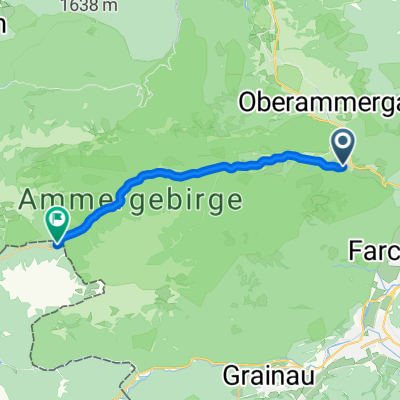
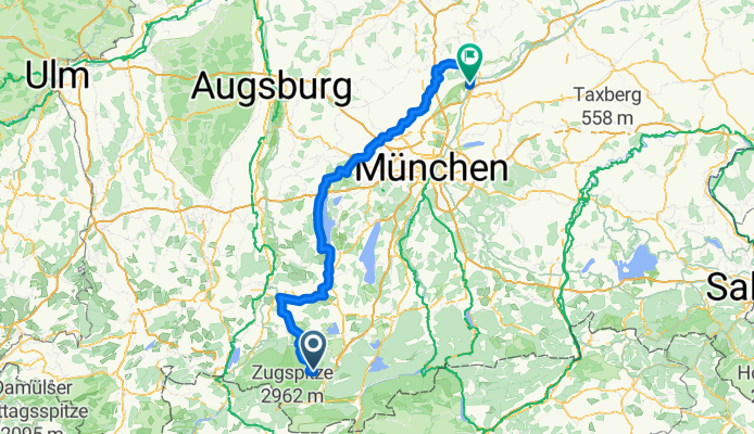
- GA-PA horní cesta Čtvrtek
- Distanz
- 53,9 km
- Aufstieg
- 706 m
- Abstieg
- 735 m
- Standort
- Ettal, Bayern, Bundesrepublik Deutschland
- Ettal - Ehrwald
- Distanz
- 71,2 km
- Aufstieg
- 1.293 m
- Abstieg
- 1.293 m
- Standort
- Ettal, Bayern, Bundesrepublik Deutschland
- Ettal - Ennigalm - Brunnenkopf
- Distanz
- 64,2 km
- Aufstieg
- 1.691 m
- Abstieg
- 1.695 m
- Standort
- Ettal, Bayern, Bundesrepublik Deutschland
- Ettal - Ersterbergalm
- Distanz
- 65 km
- Aufstieg
- 1.278 m
- Abstieg
- 1.277 m
- Standort
- Ettal, Bayern, Bundesrepublik Deutschland