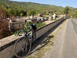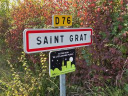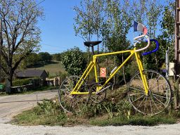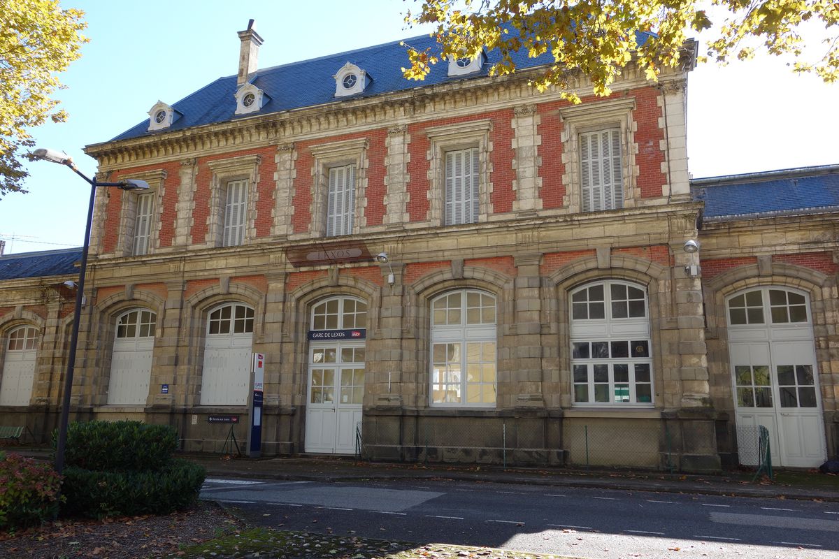
Villefranche-de-Rouergue mit dem Fahrrad
Entdecke eine Karte mit 90 Radrouten und Radwegen rund um Villefranche-de-Rouergue, erstellt von unserer Community.
Regionenporträt
Lerne Villefranche-de-Rouergue kennen
Finde die richtige Fahrradroute in Villefranche-de-Rouergue, wo wir 90 Fahrradrouten für dich zum Erkunden haben. Die meisten Leute fahren hier in den Monaten Juli und August Fahrrad.
3.853 km
Aufgezeichnete Strecken
90
Fahrradrouten
14.030
Einwohner
Community
Die aktivsten Nutzer in Villefranche-de-Rouergue
Von unserer Community
Die besten Fahrradrouten in und um Villefranche-de-Rouergue
Villefranche-de-Rouergue - Circle to Najac
Fahrradtour in Villefranche-de-Rouergue, Occitanie, Frankreich
- 48,9 km
- Distanz
- 748 m
- Aufstieg
- 750 m
- Abstieg
Villefranche-de-Rouergue - Circle through St Grat, Castanet, and Monteils
Fahrradtour in Villefranche-de-Rouergue, Occitanie, Frankreich
- 53,1 km
- Distanz
- 708 m
- Aufstieg
- 707 m
- Abstieg
2016 Ride Day 168 - Villefranche-de-Rouergue Circle through Najac
Fahrradtour in Villefranche-de-Rouergue, Occitanie, Frankreich
- 50,5 km
- Distanz
- 761 m
- Aufstieg
- 761 m
- Abstieg
2016 Ride Day 169 - Villefranche-de-Rouergue to Montauban
Fahrradtour in Villefranche-de-Rouergue, Occitanie, Frankreich
- 112,4 km
- Distanz
- 971 m
- Aufstieg
- 1.125 m
- Abstieg
Mehr Routen entdecken
 Combenegre Aveyron Lezert
- Distanz
- 23,4 km
- Aufstieg
- 493 m
- Abstieg
- 497 m
- Standort
- Villefranche-de-Rouergue, Occitanie, Frankreich
 Villefranche-de-Rouergue - Circle to Najac
- Distanz
- 48,7 km
- Aufstieg
- 665 m
- Abstieg
- 665 m
- Standort
- Villefranche-de-Rouergue, Occitanie, Frankreich
 2014 Ride Day 89 - Villefranche-de-Rouergue to Cahors
- Distanz
- 81,4 km
- Aufstieg
- 356 m
- Abstieg
- 491 m
- Standort
- Villefranche-de-Rouergue, Occitanie, Frankreich
 Dordogne 20130713
- Distanz
- 94,8 km
- Aufstieg
- 812 m
- Abstieg
- 952 m
- Standort
- Villefranche-de-Rouergue, Occitanie, Frankreich
 Od Dordogne do Provence 5.etapa
- Distanz
- 73,9 km
- Aufstieg
- 507 m
- Abstieg
- 646 m
- Standort
- Villefranche-de-Rouergue, Occitanie, Frankreich
 Door to Door day 13 Villefranche de Rouergue - Bruniquel 23rd Sept
- Distanz
- 58 km
- Aufstieg
- 723 m
- Abstieg
- 963 m
- Standort
- Villefranche-de-Rouergue, Occitanie, Frankreich
 Aveyron-Tag5--1-0719 Runde angepasst
- Distanz
- 94,2 km
- Aufstieg
- 995 m
- Abstieg
- 1.106 m
- Standort
- Villefranche-de-Rouergue, Occitanie, Frankreich
 martiel bannac
- Distanz
- 23,6 km
- Aufstieg
- 93 m
- Abstieg
- 80 m
- Standort
- Villefranche-de-Rouergue, Occitanie, Frankreich


