
Reillanne - Riez
- 52,7 km
- 249 m
- 132 m
- Reillanne, Provence-Alpes-Côte d’Azur, Frankreich

Entdecke eine Karte mit 101 Radrouten und Radwegen rund um Reillanne, erstellt von unserer Community.
Regionenporträt
Finde die richtige Fahrradroute in Reillanne, wo wir 101 Fahrradrouten für dich zum Erkunden haben. Die meisten Leute fahren hier in den Monaten Mai und Juni Fahrrad.
6.046 km
Aufgezeichnete Strecken
101
Fahrradrouten
1.410
Einwohner
Community
Von unserer Community
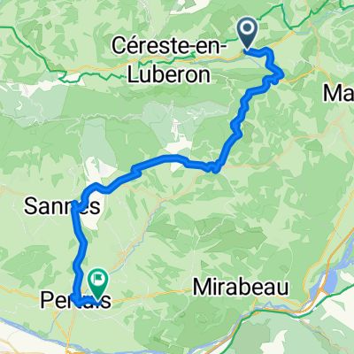
Fahrradtour in Reillanne, Provence-Alpes-Côte d’Azur, Frankreich
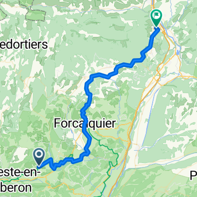
Fahrradtour in Reillanne, Provence-Alpes-Côte d’Azur, Frankreich
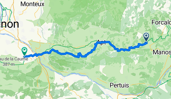
Fahrradtour in Reillanne, Provence-Alpes-Côte d’Azur, Frankreich
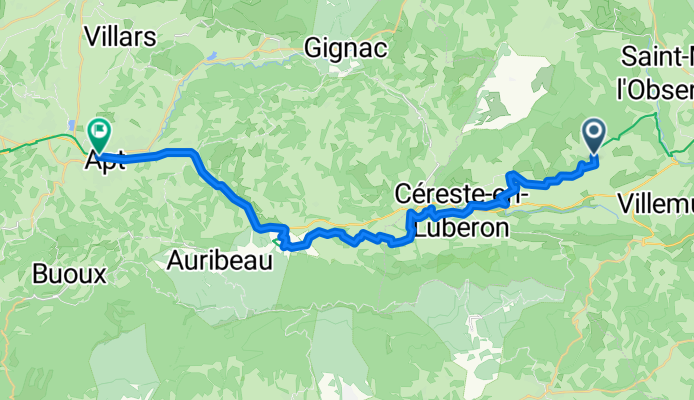
Fahrradtour in Reillanne, Provence-Alpes-Côte d’Azur, Frankreich