2013 Ride Day 27 - Bram Circle through Villepinte, St-Papoul, St-Ferréol, and Carlipa
- 70,4 km
- 786 m
- 785 m
- Bram, Occitanie, Frankreich

Finde die richtige Fahrradroute in Bram, wo wir 60 Fahrradrouten für dich zum Erkunden haben.
Aufgezeichnete Strecken
Fahrradrouten
Einwohner
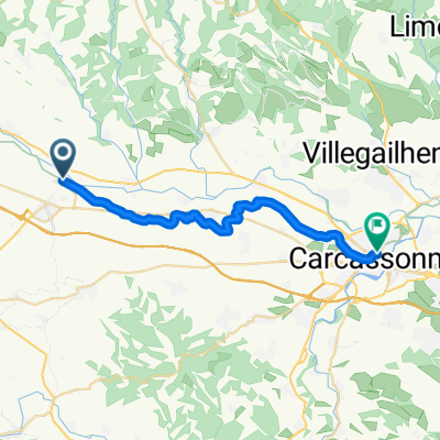
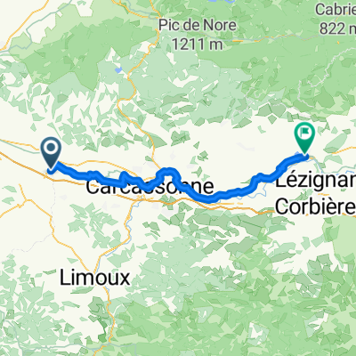
Fahrradtour in Bram, Occitanie, Frankreich
Fahrradtour in Bram, Occitanie, Frankreich
Fahrradtour in Bram, Occitanie, Frankreich