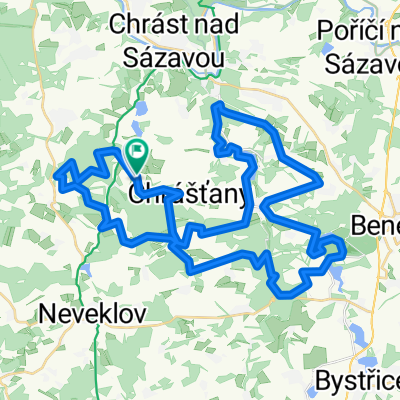
Okolo Stechovickej priehrady
- 31,8 km
- 719 m
- 716 m
- Netvořice, Mittelböhmen, Tschechien

Entdecke eine Karte mit 25 Radrouten und Radwegen rund um Netvořice, erstellt von unserer Community.
Regionenporträt
Finde die richtige Fahrradroute in Netvořice, wo wir 25 Fahrradrouten für dich zum Erkunden haben.
1.102 km
Aufgezeichnete Strecken
25
Fahrradrouten
1.060
Einwohner
Von unserer Community
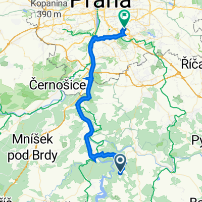
Fahrradtour in Netvořice, Mittelböhmen, Tschechien
Fahrradtour in Netvořice, Mittelböhmen, Tschechien
Fahrradtour in Netvořice, Mittelböhmen, Tschechien
Fahrradtour in Netvořice, Mittelböhmen, Tschechien