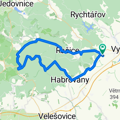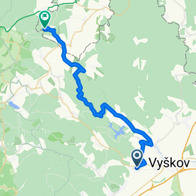
Cyklotrasy 085 - Drahanská vrchovina
- 60,7 km
- 1.219 m
- 1.219 m
- Drnovice, Südmährische Region, Tschechien

Entdecke eine Karte mit 38 Radrouten und Radwegen rund um Drnovice, erstellt von unserer Community.
Regionenporträt
Finde die richtige Fahrradroute in Drnovice, wo wir 38 Fahrradrouten für dich zum Erkunden haben.
8.027 km
Aufgezeichnete Strecken
38
Fahrradrouten
2.225
Einwohner
Community
Von unserer Community
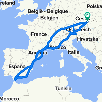
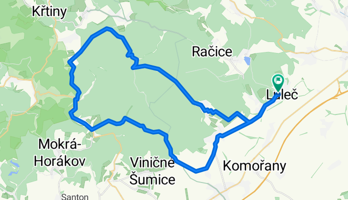
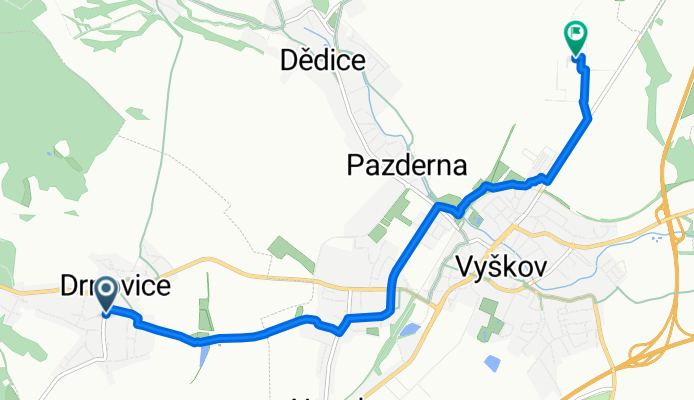
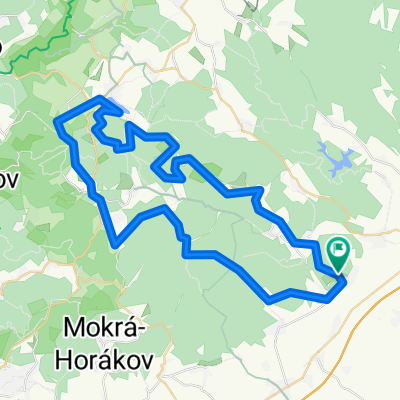
Fahrradtour in Drnovice, Südmährische Region, Tschechien
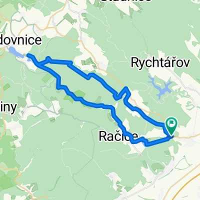
Fahrradtour in Drnovice, Südmährische Region, Tschechien
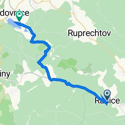
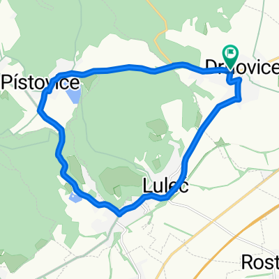
Fahrradtour in Drnovice, Südmährische Region, Tschechien
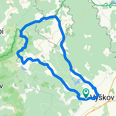
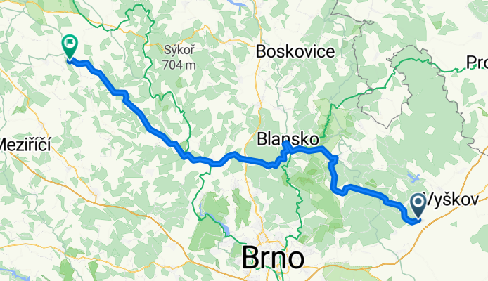
Fahrradtour in Drnovice, Südmährische Region, Tschechien