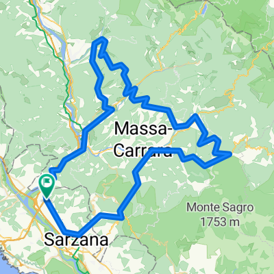


Falcinello to Vinca loop
- 70,5 km
- 1.691 m
- 1.691 m
- Santo Stefano di Magra, Ligurien, Italien

Entdecke eine Karte mit 93 Radrouten und Radwegen rund um Santo Stefano di Magra, erstellt von unserer Community.
Regionenporträt
Finde die richtige Fahrradroute in Santo Stefano di Magra, wo wir 93 Fahrradrouten für dich zum Erkunden haben. Die meisten Leute fahren hier in den Monaten Juni und August Fahrrad.
5.274 km
Aufgezeichnete Strecken
93
Fahrradrouten
8.153
Einwohner
Community
Von unserer Community
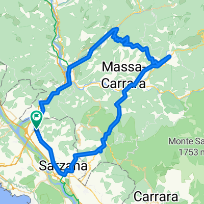
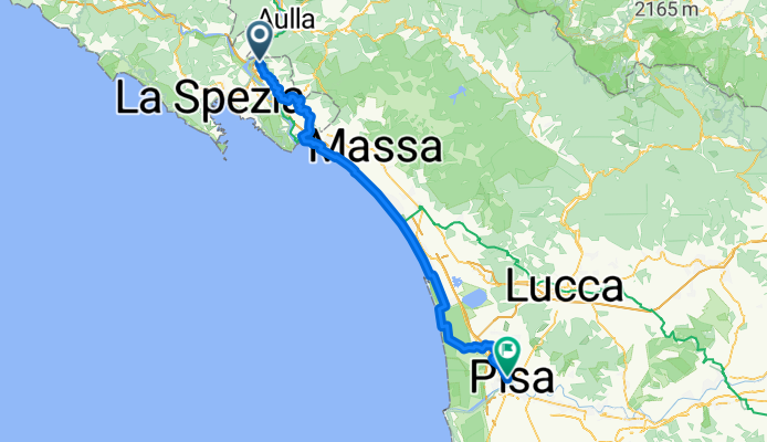
Fahrradtour in Santo Stefano di Magra, Ligurien, Italien
Fahrradtour in Santo Stefano di Magra, Ligurien, Italien
Fahrradtour in Santo Stefano di Magra, Ligurien, Italien
Fahrradtour in Santo Stefano di Magra, Ligurien, Italien