
Pea Ridge mit dem Fahrrad
Entdecke eine Karte mit 13 Radrouten und Radwegen rund um Pea Ridge, erstellt von unserer Community.
Regionenporträt
Lerne Pea Ridge kennen
Finde die richtige Fahrradroute in Pea Ridge, wo wir 13 Fahrradrouten für dich zum Erkunden haben.
301 km
Aufgezeichnete Strecken
13
Fahrradrouten
4.794
Einwohner
Community
Die aktivsten Nutzer in Pea Ridge


Von unserer Community
Die besten Fahrradrouten in und um Pea Ridge

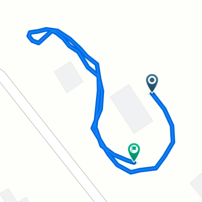
PRidge Park Rogers Bville BVista around and back
Fahrradtour in Pea Ridge, Arkansas, Vereinigte Staaten
Can be hilly in places but not too bad as long as you go clockwise. Ride in reverse you will run in to an 18 percent grade at Little Flock
Trafic is not bad, all paved.
Better take more then two bottles of water.
- 60,3 km
- Distanz
- 304 m
- Aufstieg
- 304 m
- Abstieg

Rogers Bville BVista around and back
Fahrradtour in Pea Ridge, Arkansas, Vereinigte Staaten
Kinda hilly but not too bad. The only part of the ride I do not like, is riding on Hwy 72 heading North East of Bentonville before turning Left (North West) on Price Coffee Rd. Trafic is kinda heavy with no sholder to ride on.
- 48,1 km
- Distanz
- 271 m
- Aufstieg
- 271 m
- Abstieg

Posy Mountain around and back
Fahrradtour in Pea Ridge, Arkansas, Vereinigte Staaten
Lots of hills and mostly light trafic. Except between Garfield and the Pea Ridge Battle Field Park where there is no sholder to ride on. The hills are not real bad but are many with a couple of them pretty steep and long.
- 48,2 km
- Distanz
- 377 m
- Aufstieg
- 377 m
- Abstieg

Pea Ridge AR - Washburn MO around and back
Fahrradtour in Pea Ridge, Arkansas, Vereinigte Staaten
No cell phone service on Hwy 90, Hwy KK and on the northern part of Hwy 265. Some hills and some flats. Not bad as long as you have a buddy to ride with. Washburn is the last water stop so make sure you fill up your bottles before seting off on Hwy 90.
- 76,3 km
- Distanz
- 391 m
- Aufstieg
- 394 m
- Abstieg
Mehr Routen entdecken
 1705 Shelby St, Pea Ridge to 201 SW 14th St, Bentonville
- Distanz
- 16 km
- Aufstieg
- 147 m
- Abstieg
- 148 m
- Standort
- Pea Ridge, Arkansas, Vereinigte Staaten
 test loop
- Distanz
- 0,6 km
- Aufstieg
- 26 m
- Abstieg
- 15 m
- Standort
- Pea Ridge, Arkansas, Vereinigte Staaten
 Home-Work
- Distanz
- 18,1 km
- Aufstieg
- 130 m
- Abstieg
- 141 m
- Standort
- Pea Ridge, Arkansas, Vereinigte Staaten
 11 Ettington Dr, Bella Vista to 11 Ettington Dr, Bella Vista
- Distanz
- 12,9 km
- Aufstieg
- 136 m
- Abstieg
- 130 m
- Standort
- Pea Ridge, Arkansas, Vereinigte Staaten
 11 Ettington Dr, Bella Vista to 11 Ettington Dr, Bella Vista
- Distanz
- 2,1 km
- Aufstieg
- 33 m
- Abstieg
- 38 m
- Standort
- Pea Ridge, Arkansas, Vereinigte Staaten
 11 Ettington Dr, Bella Vista to Bella Vista Way, Bentonville
- Distanz
- 5,2 km
- Aufstieg
- 16 m
- Abstieg
- 96 m
- Standort
- Pea Ridge, Arkansas, Vereinigte Staaten
 11 Ettington Dr, Bella Vista to Manchester Dr, Bella Vista
- Distanz
- 2,9 km
- Aufstieg
- 0 m
- Abstieg
- 55 m
- Standort
- Pea Ridge, Arkansas, Vereinigte Staaten
 11 Ettington Dr, Bella Vista to 11 Ettington Dr, Bella Vista
- Distanz
- 1,4 km
- Aufstieg
- 17 m
- Abstieg
- 22 m
- Standort
- Pea Ridge, Arkansas, Vereinigte Staaten