Lindsborg mit dem Fahrrad
Entdecke eine Karte mit 7 Radrouten und Radwegen rund um Lindsborg, erstellt von unserer Community.
Pioniere gesucht
Inspiriere andere Radfahrer mit deiner Route in Lindsborg
Bikemap ist eine globale Fahrrad-Community mit Millionen von Routen, die von Radfahrern wie dir erstellt wurden. Es gibt bisher nur wenige Routen in Lindsborg, also zeichne deine Lieblingsstrecken jetzt auf der Karte ein, um anderen zu helfen, die besten Radrouten zu finden.
Von unserer Community
Die besten Fahrradrouten in und um Lindsborg
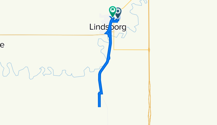
Lindsborg via the Meadowlark Trail to Marquette
Fahrradtour in Lindsborg, Kansas, USA
This low traffic cycle route is a great way to unwind and leave all your cares behind you. Be certain to ignore the Higway miles of this route; take the Meadowlark Trail (the trailhead begins at the south end Lindsborg's Valkommen Trail, a paved 2.3 mile pedestrian and cycling path through Lindsborg) to Shawnee Road, then head west to Marquette. This entire route is paved, with the exception of the well maintained three mile section of the Meadowlark Trail which is compacted shale.
Leave Lindsborg early and stop in Marquette at the cafe for breakfast or Piper's Fine Foods for a fresh bottle of water and the snack of your choice.
If you want new scenery, you can also head back to Lindsborg via Highway 4 in time for lunch! Lindsborg has a variety of great stops for fresh food.
- 49 km
- Distanz
- 86 m
- Aufstieg
- 89 m
- Abstieg
Lindsborg to Coronado Heights
Fahrradtour in Lindsborg, Kansas, USA
This short ride from Lindsborg to Coronado Heights is a beautiful way to begin or end your day.
One of the most recognizable landmarks in the Smoky Hill River Valley of Central Kansas is Coronado Heights Park, listed on the National and Kansas Registries of Historic Places and voted as one of the 8 Wonders of Kansas Geography by members of the Kansas Sampler Foundation.
Early Swedish pioneers originally settled at the base of the bluff, but eventually moved the community to the floor of the valley. Anna Olsson, daughter of one of Lindsborg’s founders Rev. Olaf Olsson, wrote in her memoir Child of the Prairie that looking from the top of the Heights, when homesick, one imagined seeing all the way to Sweden.
Dominating at 300 feet above the Smoky Hill River Valley, Coronado Heights, located about 3 miles northwest of Lindsborg, is on the southern edge of a succession of seven hills known as the Spanish (or sometimes the Smoky Hill) Buttes. The Dakota Formation was deposited about 100 million years ago. Coronado Heights remains a natural habitat of wildflowers and grasses. Yucca, gooseberries, Prairie Racerunner lizards, sumac, sage and spiderwort flourish. Because of its natural beauty, it is a popular site for weddings and family reunions.
Development of Coronado Heights Park began in 1919 with the formation of the Lindsborg Historical Society, predecessor of the Smoky Valley Historical Association. A shelter house was built around the picnic and cooking area in the middle of the top of the hill. The original road, to allow automobile access to the top, was built in 1920 and named Swensson Drive in memory of Carl Aaron Swensson, founder of Bethany College. A footpath, now the stairway located half-way up the hill, is called Olsson Trail, named after Olaf Olsson, leader of one of the first groups of Swedes to settle in the valley. Early in the Smoky Valley’s history it was apparent that Coronado Heights Park was to be valued and accessible for everyone to enjoy. As the 1988 sculpture by John Whitfield, located halfway up the road, says "A Place to Share."
Coronado Heights Park is where Smoky Valley residents go to observe the ever-changing Kansas weather. Artists and photographers have for years converged on Coronado Heights for the exceptional panorama. The soft native Dakota sandstone is littered with names and dates from years ago. Hiking and biking trails wind around the bluff. Even though some have the mistaken idea Coronado himself built the Spanish-style castle, it was actually constructed in 1936 by Works Progress Administration workers. It is the place for watching a sunrise or sunset. It’s the perfect place to fly a kite or model airplane, have a picnic, meet friends and to take visitors to show them the landscape of the Smoky Valley.
- 14,7 km
- Distanz
- 106 m
- Aufstieg
- 106 m
- Abstieg
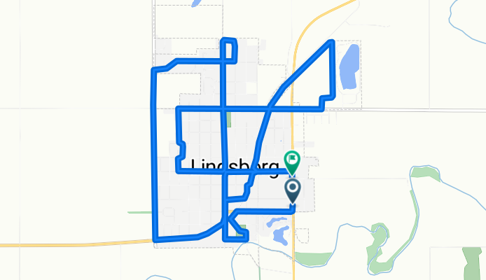
Välkommen Trail - Lindsborg
Fahrradtour in Lindsborg, Kansas, USA
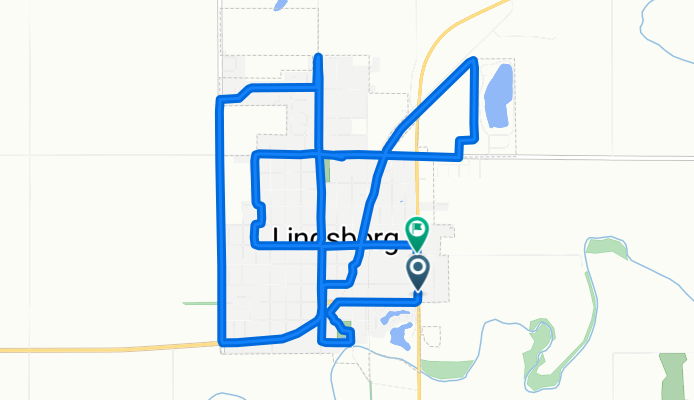
The Välkommen Trail opened Saturday, July 29th, 2006. This 2.5 mile all-weather bicycle and pedestrian trail was converted from abandoned Missouri-Pacific and Union Pacific rail beds. The trail, which meanders through our beautiful Lindsborg, is free for public use year round. At the trails southern most end, you can enjoy the sights and sounds of nature as you walk across a newly refurbished railroad bridge. The route includes a skate park and will extend to the northeast corner of Lindsborg in 2018. This is an all-weather trail and is well-used, throughout the year.
- 5 km
- Distanz
- 11 m
- Aufstieg
- 9 m
- Abstieg
Falun Classic - Lindsborg to Falun Loop
Fahrradtour in Lindsborg, Kansas, USA
Cycle the route of the Falun Classic, an annual October ride that meanders through the beautiful Smoky Valley. An easy, part paved, part unpaved, ride for all levels of cyclists. 32 miles of hilly paved roads, view the fall foliage, enjoy riding with friends old and new, complete with sag stops and lunch after in Swenssen Park. Register for this ride at www.bikereg.com .
- 49,1 km
- Distanz
- 135 m
- Aufstieg
- 133 m
- Abstieg