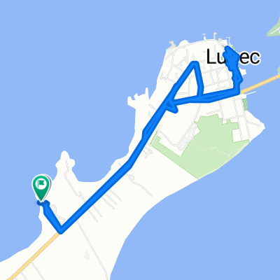
Eastport mit dem Fahrrad
Entdecke eine Karte mit 9 Radrouten und Radwegen rund um Eastport, erstellt von unserer Community.
Regionenporträt
Lerne Eastport kennen
Finde die richtige Fahrradroute in Eastport, wo wir 9 Fahrradrouten für dich zum Erkunden haben.
584 km
Aufgezeichnete Strecken
9
Fahrradrouten
1.331
Einwohner
Von unserer Community
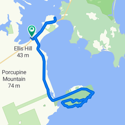
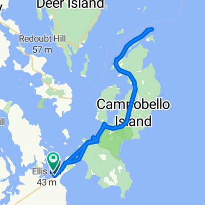
Die besten Fahrradrouten in und um Eastport
Eastport to Lubec
Fahrradtour in Eastport, State of Maine, USA
- 75,6 km
- Distanz
- 614 m
- Aufstieg
- 628 m
- Abstieg
Jour 4b
Fahrradtour in Eastport, State of Maine, USA
Itineraire changer
- 117,4 km
- Distanz
- 367 m
- Aufstieg
- 349 m
- Abstieg
Bar Harbor Jour 4
Fahrradtour in Eastport, State of Maine, USA
Herring Cove Provincial park à Kiwanis Oceanfront Camping
- 84,8 km
- Distanz
- 369 m
- Aufstieg
- 404 m
- Abstieg
Boot Cove Loop
Fahrradtour in Eastport, State of Maine, USA
This is a loop from Lubec out to the intersection of Boot Cove and Dixie Roads.
It starts out with a view of Lubec Channel, then goes through blueberry barrens and fields being taken over by alders. The view of Julia Cove is particularly lovely.
Note: This route works out to 8.9 mil
- 10,8 km
- Distanz
- 81 m
- Aufstieg
- 88 m
- Abstieg
Mehr Routen entdecken
- Lubec to Saint Andrews via Calais
- Distanz
- 114 km
- Aufstieg
- 364 m
- Abstieg
- 367 m
- Standort
- Eastport, State of Maine, USA
- Lubec to St Andrews via Ferry 1 of 3
- Distanz
- 6,6 km
- Aufstieg
- 83 m
- Abstieg
- 93 m
- Standort
- Eastport, State of Maine, USA
- Crows Neck Road
- Distanz
- 20 km
- Aufstieg
- 137 m
- Abstieg
- 137 m
- Standort
- Eastport, State of Maine, USA
- Beyond Cutler
- Distanz
- 42,7 km
- Aufstieg
- 254 m
- Abstieg
- 253 m
- Standort
- Eastport, State of Maine, USA
- Campobello Island to St John, NB
- Distanz
- 111,9 km
- Aufstieg
- 385 m
- Abstieg
- 396 m
- Standort
- Eastport, State of Maine, USA