2
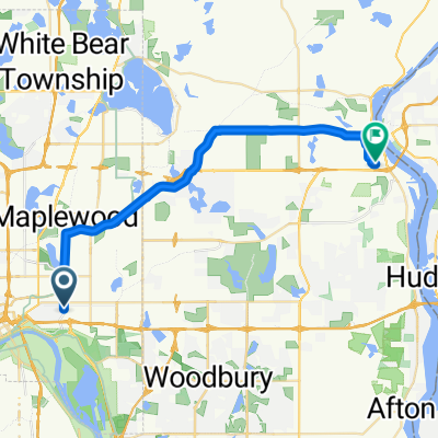
- 14,1 km
- 91 m
- 101 m
- Maplewood, Minnesota, Vereinigte Staaten

Entdecke eine Karte mit 62 Radrouten und Radwegen rund um Maplewood, erstellt von unserer Community.
Regionenporträt
Finde die richtige Fahrradroute in Maplewood, wo wir 62 Fahrradrouten für dich zum Erkunden haben. Die meisten Leute fahren hier in den Monaten Juli und August Fahrrad.
1.098 km
Aufgezeichnete Strecken
62
Fahrradrouten
38.018
Einwohner
Von unserer Community
Fahrradtour in Maplewood, Minnesota, Vereinigte Staaten
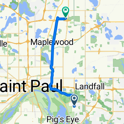
Fahrradtour in Maplewood, Minnesota, Vereinigte Staaten
Fahrradtour in Maplewood, Minnesota, Vereinigte Staaten
Fahrradtour in Maplewood, Minnesota, Vereinigte Staaten
Garmin VIVOACTIVE3®