
Mission Canyon mit dem Fahrrad
Entdecke eine Karte mit 134 Radrouten und Radwegen rund um Mission Canyon, erstellt von unserer Community.
Regionenporträt
Lerne Mission Canyon kennen
Finde die richtige Fahrradroute in Mission Canyon, wo wir 134 Fahrradrouten für dich zum Erkunden haben. Die meisten Leute fahren hier in den Monaten Mai und August Fahrrad.
4.257 km
Aufgezeichnete Strecken
134
Fahrradrouten
2.381
Einwohner
Community
Die aktivsten Nutzer in Mission Canyon


Von unserer Community
Die besten Fahrradrouten in und um Mission Canyon

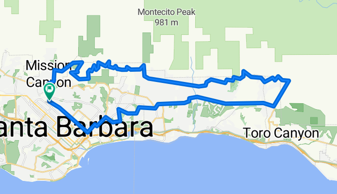
Santa Barbara Thirty
Fahrradtour in Mission Canyon, Kalifornien, Vereinigte Staaten
- 48,5 km
- Distanz
- 423 m
- Aufstieg
- 423 m
- Abstieg

La Cumbre
Fahrradtour in Mission Canyon, Kalifornien, Vereinigte Staaten
- 49,5 km
- Distanz
- 1.311 m
- Aufstieg
- 1.313 m
- Abstieg
Santa Barbara / Montecito foothills loop CLONED FROM ROUTE 552049
Fahrradtour in Mission Canyon, Kalifornien, Vereinigte Staaten
- 42,4 km
- Distanz
- 715 m
- Aufstieg
- 715 m
- Abstieg

Santa Barbara Ridge Route
Fahrradtour in Mission Canyon, Kalifornien, Vereinigte Staaten
- 46,7 km
- Distanz
- 1.325 m
- Aufstieg
- 1.317 m
- Abstieg
Mehr Routen entdecken
 Elings Park Loop
- Distanz
- 16,6 km
- Aufstieg
- 218 m
- Abstieg
- 219 m
- Standort
- Mission Canyon, Kalifornien, Vereinigte Staaten
 Josh's Route from Home to UCSB
- Distanz
- 8,6 km
- Aufstieg
- 31 m
- Abstieg
- 54 m
- Standort
- Mission Canyon, Kalifornien, Vereinigte Staaten
 4100–4136 Lago Dr, Santa Barbara to 2201 Laguna St, Santa Barbara
- Distanz
- 7 km
- Aufstieg
- 97 m
- Abstieg
- 55 m
- Standort
- Mission Canyon, Kalifornien, Vereinigte Staaten
 Gibraltar
- Distanz
- 8,6 km
- Aufstieg
- 86 m
- Abstieg
- 524 m
- Standort
- Mission Canyon, Kalifornien, Vereinigte Staaten
 DISSCH Santa Barbara - Las Vegas
- Distanz
- 567,8 km
- Aufstieg
- 2.681 m
- Abstieg
- 2.083 m
- Standort
- Mission Canyon, Kalifornien, Vereinigte Staaten
 Santa Barbara Big 32 miles
- Distanz
- 52,2 km
- Aufstieg
- 694 m
- Abstieg
- 700 m
- Standort
- Mission Canyon, Kalifornien, Vereinigte Staaten
 Home to Gym
- Distanz
- 2,2 km
- Aufstieg
- 9 m
- Abstieg
- 12 m
- Standort
- Mission Canyon, Kalifornien, Vereinigte Staaten
 5/28/23 late afternoon bikey
- Distanz
- 20,8 km
- Aufstieg
- 199 m
- Abstieg
- 190 m
- Standort
- Mission Canyon, Kalifornien, Vereinigte Staaten