
Billings mit dem Fahrrad
Entdecke eine Karte mit 95 Radrouten und Radwegen rund um Billings, erstellt von unserer Community.
Regionenporträt
Lerne Billings kennen
Finde die richtige Fahrradroute in Billings, wo wir 95 Fahrradrouten für dich zum Erkunden haben. Die meisten Leute fahren hier in den Monaten Juni und Juli Fahrrad.
9.011 km
Aufgezeichnete Strecken
95
Fahrradrouten
104.170
Einwohner
Community
Die aktivsten Nutzer in Billings


Von unserer Community
Die besten Fahrradrouten in und um Billings

Billings, MT to Salt Lake City, UT
Fahrradtour in Billings, Montana, Vereinigte Staaten
- 511,1 km
- Distanz
- 3.456 m
- Aufstieg
- 2.656 m
- Abstieg

Day 19: Jim Dutcher Trail, Billings, MT
Fahrradtour in Billings, Montana, Vereinigte Staaten
- 13,7 km
- Distanz
- 69 m
- Aufstieg
- 66 m
- Abstieg

Billings, MT - Bozeman, MT
Fahrradtour in Billings, Montana, Vereinigte Staaten
- 237,9 km
- Distanz
- 1.332 m
- Aufstieg
- 822 m
- Abstieg

norms island and riverfront park
Fahrradtour in Billings, Montana, Vereinigte Staaten
- 6,9 km
- Distanz
- 16 m
- Aufstieg
- 18 m
- Abstieg
Mehr Routen entdecken
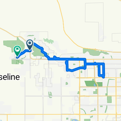 Western Bluffs Blvd, Billings to W Copper Ridge Loop, Billings
- Distanz
- 23,2 km
- Aufstieg
- 145 m
- Abstieg
- 151 m
- Standort
- Billings, Montana, Vereinigte Staaten
 10 mile 17th
- Distanz
- 16,2 km
- Aufstieg
- 32 m
- Abstieg
- 31 m
- Standort
- Billings, Montana, Vereinigte Staaten
 Billings to Fox Valley
- Distanz
- 1.868,7 km
- Aufstieg
- 834 m
- Abstieg
- 1.678 m
- Standort
- Billings, Montana, Vereinigte Staaten
 Scenic Ride
- Distanz
- 16,1 km
- Aufstieg
- 73 m
- Abstieg
- 73 m
- Standort
- Billings, Montana, Vereinigte Staaten
 251 Wind Cave Cir, Billings to 261 Wind Cave Cir, Billings
- Distanz
- 16,3 km
- Aufstieg
- 35 m
- Abstieg
- 39 m
- Standort
- Billings, Montana, Vereinigte Staaten
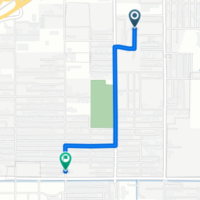 159 Viceroy St, Billings to 731 Orchard Ln, Billings
- Distanz
- 1,7 km
- Aufstieg
- 4 m
- Abstieg
- 0 m
- Standort
- Billings, Montana, Vereinigte Staaten
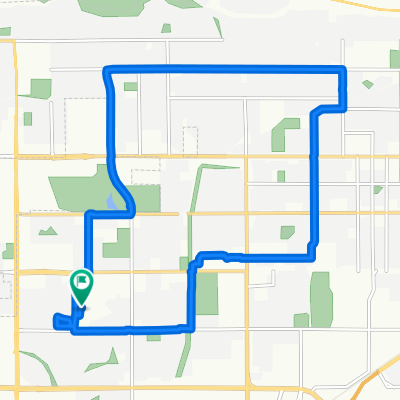
 Easy ride in Billings
- Distanz
- 31,8 km
- Aufstieg
- 197 m
- Abstieg
- 198 m
- Standort
- Billings, Montana, Vereinigte Staaten
 Christer’s house
- Distanz
- 15,3 km
- Aufstieg
- 65 m
- Abstieg
- 65 m
- Standort
- Billings, Montana, Vereinigte Staaten