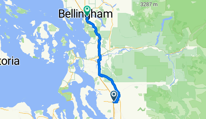


15405 67th Ave NE, Arlington to 15405 67th Ave NE, Arlington
- 10,9 km
- 69 m
- 70 m
- Smokey Point, Washington, Vereinigte Staaten

Entdecke eine Karte mit 20 Radrouten und Radwegen rund um Smokey Point, erstellt von unserer Community.
Regionenporträt
Finde die richtige Fahrradroute in Smokey Point, wo wir 20 Fahrradrouten für dich zum Erkunden haben. Die meisten Leute fahren hier im Monat Mai Fahrrad.
624 km
Aufgezeichnete Strecken
20
Fahrradrouten
1.572
Einwohner
Community
Von unserer Community
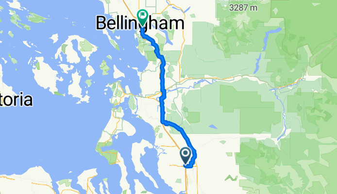
Fahrradtour in Smokey Point, Washington, Vereinigte Staaten
Fahrradtour in Smokey Point, Washington, Vereinigte Staaten
Fahrradtour in Smokey Point, Washington, Vereinigte Staaten
Fahrradtour in Smokey Point, Washington, Vereinigte Staaten


