


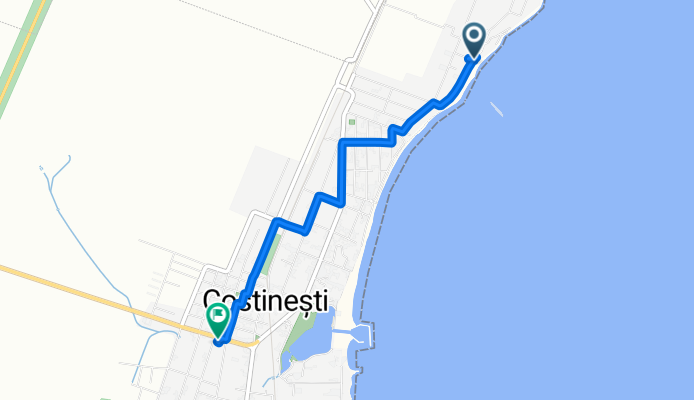


Strada Pescarului 8, Costinești to Strada Emil Costinescu 5, Costinești
- 10,7 km
- 286 m
- 288 m
- Costineşti, Kreis Constanța, Rumänien

Entdecke eine Karte mit 21 Radrouten und Radwegen rund um Costineşti, erstellt von unserer Community.
Regionenporträt
Finde die richtige Fahrradroute in Costineşti, wo wir 21 Fahrradrouten für dich zum Erkunden haben.
1.340 km
Aufgezeichnete Strecken
21
Fahrradrouten
2.500
Einwohner
Community
Von unserer Community

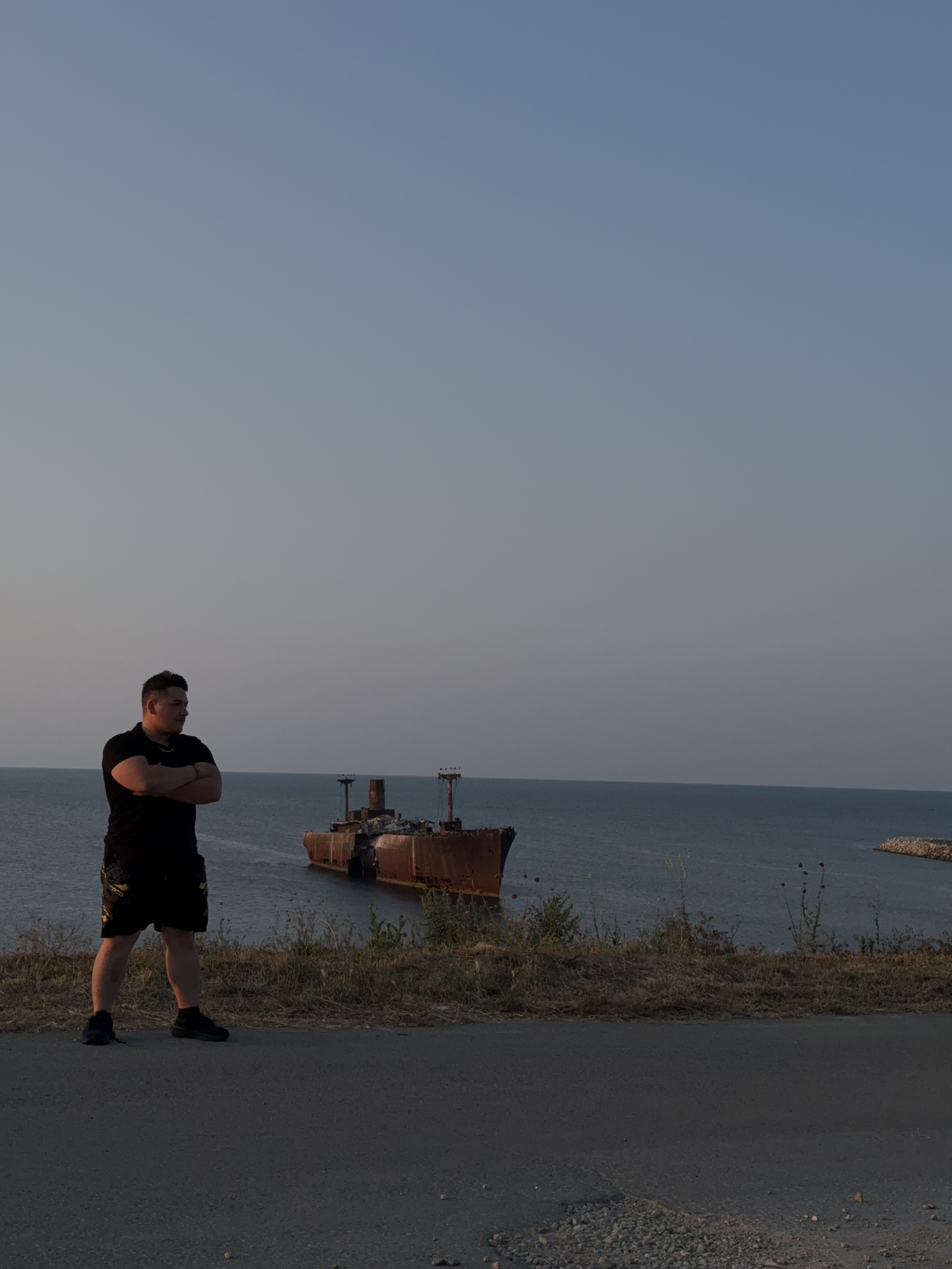
Fahrradtour in Costineşti, Kreis Constanța, Rumänien
Fahrradtour in Costineşti, Kreis Constanța, Rumänien
Fahrradtour in Costineşti, Kreis Constanța, Rumänien
Fahrradtour in Costineşti, Kreis Constanța, Rumänien


