


Пшк 2012-08-18 Микулич-Космач 40км
- 39,8 km
- 1.067 m
- 1.040 m
- Tatariv, Oblast Iwano-Frankiwsk, Ukraine

Entdecke eine Karte mit 76 Radrouten und Radwegen rund um Tatariv, erstellt von unserer Community.
Regionenporträt
Finde die richtige Fahrradroute in Tatariv, wo wir 76 Fahrradrouten für dich zum Erkunden haben. Die meisten Leute fahren hier in den Monaten Juni und August Fahrrad.
3.419 km
Aufgezeichnete Strecken
76
Fahrradrouten
1.508
Einwohner
Von unserer Community
Fahrradtour in Tatariv, Oblast Iwano-Frankiwsk, Ukraine
Fahrradtour in Tatariv, Oblast Iwano-Frankiwsk, Ukraine
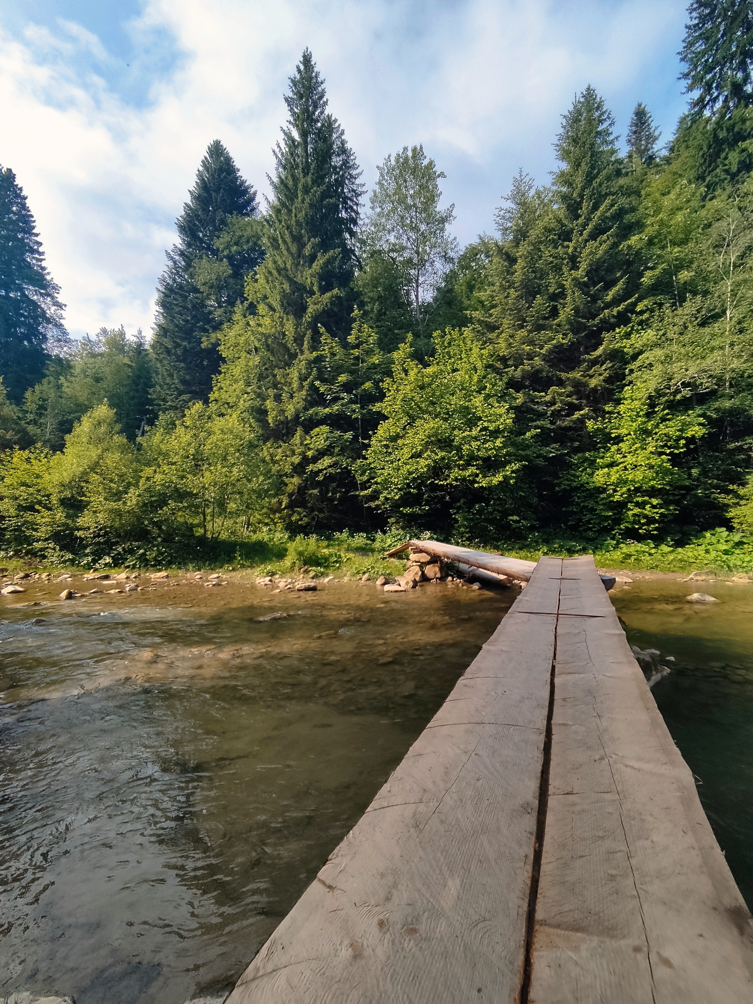
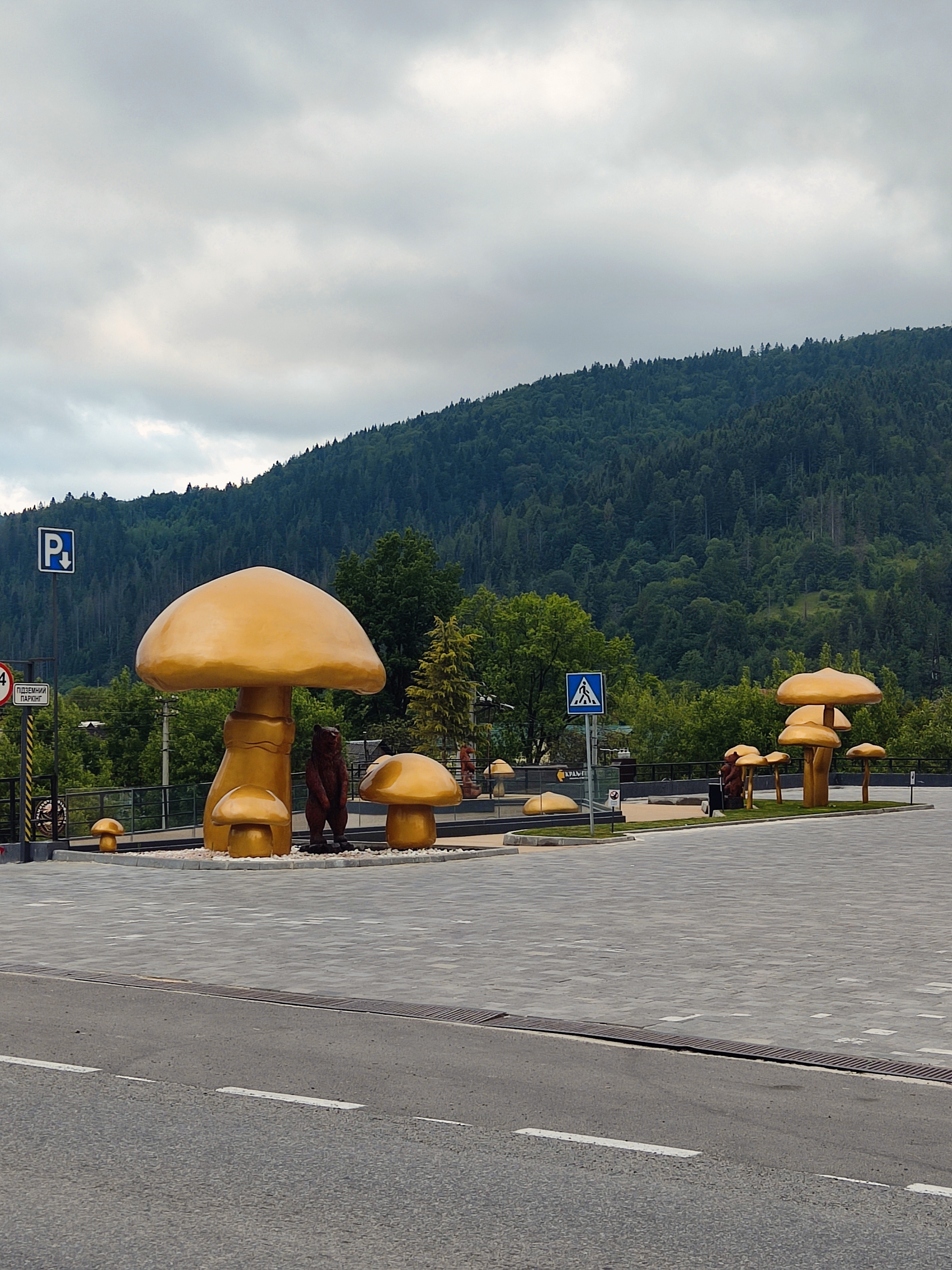
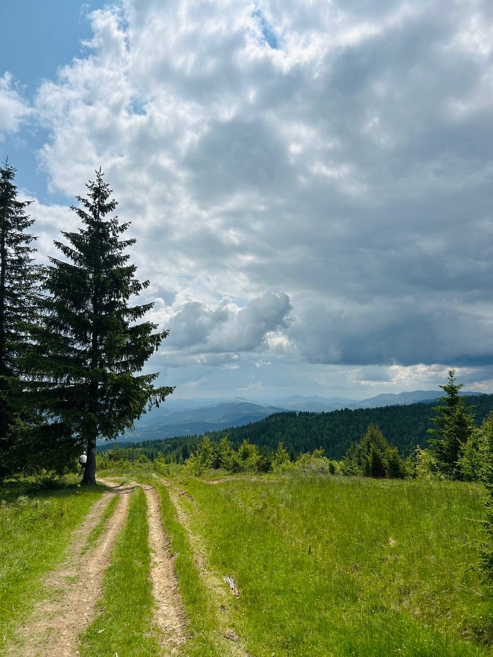
Fahrradtour in Tatariv, Oblast Iwano-Frankiwsk, Ukraine


Fahrradtour in Tatariv, Oblast Iwano-Frankiwsk, Ukraine


