Lagunitas-Forest Knolls mit dem Fahrrad
Entdecke eine Karte mit 50 Radrouten und Radwegen rund um Lagunitas-Forest Knolls, erstellt von unserer Community.
Regionenporträt
Lerne Lagunitas-Forest Knolls kennen
Finde die richtige Fahrradroute in Lagunitas-Forest Knolls, wo wir 50 Fahrradrouten für dich zum Erkunden haben.
2.477 km
Aufgezeichnete Strecken
50
Fahrradrouten
1.819
Einwohner
Community
Die aktivsten Nutzer in Lagunitas-Forest Knolls
Von unserer Community
Die besten Fahrradrouten in und um Lagunitas-Forest Knolls
Nicasio Olema Loop enduro
Fahrradtour in Lagunitas-Forest Knolls, Kalifornien, Vereinigte Staaten
- 34,8 km
- Distanz
- 371 m
- Aufstieg
- 367 m
- Abstieg
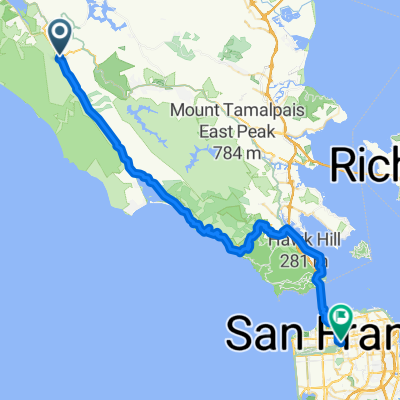
Bolinas Ridge to Hawk Camp
Fahrradtour in Lagunitas-Forest Knolls, Kalifornien, Vereinigte Staaten
- 46,7 km
- Distanz
- 1.534 m
- Aufstieg
- 1.342 m
- Abstieg
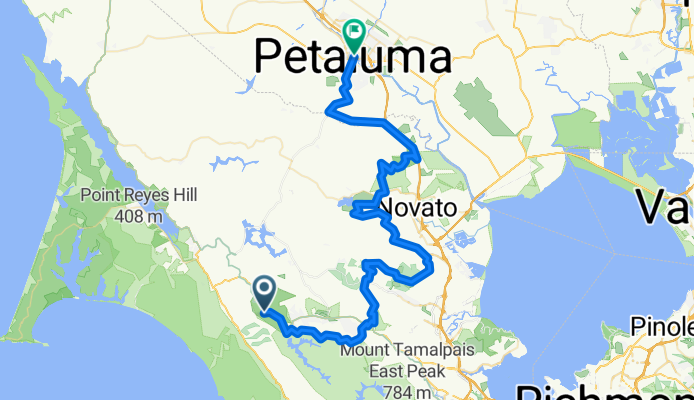
BART: Sam Taylor to Petaluma
Fahrradtour in Lagunitas-Forest Knolls, Kalifornien, Vereinigte Staaten
- 79,3 km
- Distanz
- 2.441 m
- Aufstieg
- 2.505 m
- Abstieg
nicasio - bolinas - panoramic loop
Fahrradtour in Lagunitas-Forest Knolls, Kalifornien, Vereinigte Staaten
- 93,5 km
- Distanz
- 1.489 m
- Aufstieg
- 1.489 m
- Abstieg
Mehr Routen entdecken
 Nicasio to Kehoe and back
- Distanz
- 72,1 km
- Aufstieg
- 478 m
- Abstieg
- 475 m
- Standort
- Lagunitas-Forest Knolls, Kalifornien, Vereinigte Staaten
 TT course #2
- Distanz
- 10,1 km
- Aufstieg
- 84 m
- Abstieg
- 131 m
- Standort
- Lagunitas-Forest Knolls, Kalifornien, Vereinigte Staaten
 9.94mi Nicasio to Pt Reyes Station 1-way
- Distanz
- 16 km
- Aufstieg
- 90 m
- Abstieg
- 140 m
- Standort
- Lagunitas-Forest Knolls, Kalifornien, Vereinigte Staaten
 Brake for Nicasio
- Distanz
- 34,3 km
- Aufstieg
- 437 m
- Abstieg
- 441 m
- Standort
- Lagunitas-Forest Knolls, Kalifornien, Vereinigte Staaten
 7/29/23 - 2.5hr loop
- Distanz
- 70,9 km
- Aufstieg
- 917 m
- Abstieg
- 919 m
- Standort
- Lagunitas-Forest Knolls, Kalifornien, Vereinigte Staaten
 Olema to home
- Distanz
- 59,3 km
- Aufstieg
- 856 m
- Abstieg
- 808 m
- Standort
- Lagunitas-Forest Knolls, Kalifornien, Vereinigte Staaten
 half moon bay
- Distanz
- 94,9 km
- Aufstieg
- 726 m
- Abstieg
- 769 m
- Standort
- Lagunitas-Forest Knolls, Kalifornien, Vereinigte Staaten
 Olema Loop
- Distanz
- 81,5 km
- Aufstieg
- 520 m
- Abstieg
- 522 m
- Standort
- Lagunitas-Forest Knolls, Kalifornien, Vereinigte Staaten


