Kew East mit dem Fahrrad
Entdecke eine Karte mit 116 Radrouten und Radwegen rund um Kew East, erstellt von unserer Community.
Regionenporträt
Lerne Kew East kennen
Finde die richtige Fahrradroute in Kew East, wo wir 116 Fahrradrouten für dich zum Erkunden haben. Die meisten Leute fahren hier in den Monaten Februar und März Fahrrad.
2.141 km
Aufgezeichnete Strecken
116
Fahrradrouten
6.140
Einwohner
Community
Die aktivsten Nutzer in Kew East
Handverlesene Routen
Entdecke Kew East durch diese Sammlungen
 Tour
Tour
Von unserer Community
Die besten Fahrradrouten in und um Kew East

High Street to High Street
Fahrradtour in Kew East, Victoria, Australien
- 61 km
- Distanz
- 273 m
- Aufstieg
- 275 m
- Abstieg


High Street to High Street
Fahrradtour in Kew East, Victoria, Australien
- 59,8 km
- Distanz
- 293 m
- Aufstieg
- 299 m
- Abstieg

Mehr Routen entdecken
- Alle Routen in Kew East
- Rundwege
- Entspannt
- Gravel
- Rennrad
- MTB
- Trekking
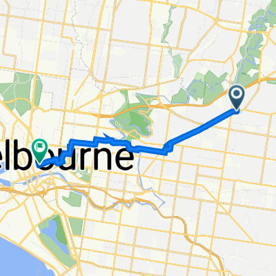
- 1–5 Hatfield St, Balwyn North to 379 Little Collins St, Melbourne0
- 12,2 km
- 151 m
- 177 m
- Kew East, Victoria, Australien