Gorje mit dem Fahrrad
Entdecke eine Karte mit 692 Fahrradrouten und Radwegen in Gorje, erstellt von unserer Community.
Regionenporträt
Lerne Gorje kennen
Finde die richtige Fahrradroute in Gorje, wo wir 692 Fahrradrouten für dich zum Erkunden haben. Die meisten Leute fahren hier in den Monaten Juli und August Fahrrad.
38.468 km
Aufgezeichnete Strecken
692
Fahrradrouten
Community
Die aktivsten Nutzer in Gorje
Handverlesene Routen
Entdecke Gorje durch diese Sammlungen
Tour
Von unserer Community
Die besten Fahrradrouten in Gorje
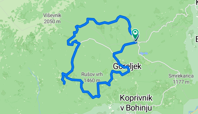
pokljuka family
Fahrradtour in Zgornje Gorje, Gorje, Slowenien
- 29,1 km
- Distanz
- 866 m
- Aufstieg
- 862 m
- Abstieg
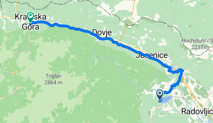
Bled, Bled to Vitranška ulica, Kranjska Gora
Fahrradtour in Zgornje Gorje, Gorje, Slowenien
- 41 km
- Distanz
- 900 m
- Aufstieg
- 581 m
- Abstieg
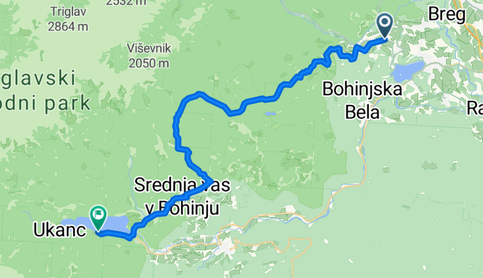
Bled to Bohinj Route 2 - Final
Fahrradtour in Zgornje Gorje, Gorje, Slowenien
- 32,7 km
- Distanz
- 1.391 m
- Aufstieg
- 1.415 m
- Abstieg
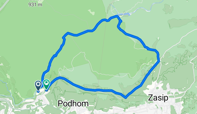
Rundweg durch die Vintgar-Schlucht
Fahrradtour in Zgornje Gorje, Gorje, Slowenien
- 5,6 km
- Distanz
- 242 m
- Aufstieg
- 239 m
- Abstieg
Mehr Routen entdecken
 Bosques de Bled
- Distanz
- 14,8 km
- Aufstieg
- 549 m
- Abstieg
- 552 m
- Standort
- Zgornje Gorje, Gorje, Slowenien
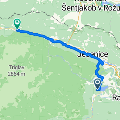 Bled, Bled to Jezerci, Gozd Martuljek
- Distanz
- 33,7 km
- Aufstieg
- 814 m
- Abstieg
- 591 m
- Standort
- Zgornje Gorje, Gorje, Slowenien
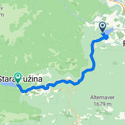 From Bled to Bohinjsko jezero
- Distanz
- 28 km
- Aufstieg
- 861 m
- Abstieg
- 823 m
- Standort
- Zgornje Gorje, Gorje, Slowenien
 Kranjska gora s Krmo
- Distanz
- 75,3 km
- Aufstieg
- 683 m
- Abstieg
- 671 m
- Standort
- Zgornje Gorje, Gorje, Slowenien
 Radovna_Chiusaforte
- Distanz
- 87 km
- Aufstieg
- 546 m
- Abstieg
- 769 m
- Standort
- Zgornje Gorje, Gorje, Slowenien
 zabajto čez galetovec
- Distanz
- 17,2 km
- Aufstieg
- 802 m
- Abstieg
- 914 m
- Standort
- Zgornje Gorje, Gorje, Slowenien
 Bled-Kranjska Gora
- Distanz
- 36,4 km
- Aufstieg
- 592 m
- Abstieg
- 253 m
- Standort
- Zgornje Gorje, Gorje, Slowenien
 Bled, Žirovnica, Begunje, Podnart, Radovljica, Bled
- Distanz
- 58,1 km
- Aufstieg
- 494 m
- Abstieg
- 500 m
- Standort
- Zgornje Gorje, Gorje, Slowenien
Fahrradregionen in Gorje
Zgornje Gorje
692 Radrouten
Wo man in Slowenien radelt
Beliebte Fahrradregionen in Slowenien


